Public domain
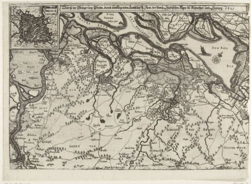
Map of the Siege of Breda, 1625
From the collection of Rijksmuseum, Amsterdam. Free to download, adapt and use — no permission needed.
About this work
Map of the siege of Breda by the Spanish army under Spinola, 27 August 1624 to 5 June 1625. Breda with a large part of the surrounding land and the camps of the besieging troops at Ginneken and of the States' armies under Maurice at Roosendaal and under Frederick Henry at Sprang. On the left: the Scheldt and Antwerp, at the top: the Hollands Diep and the Biesbos. Top left: an inset with a plan of Breda.
Rijksmuseum, Amsterdam’s own descriptionSubjects
Credit lineKaart van het beleg van Breda, 1625. 1625. anonymous. Rijksmuseum, Amsterdam. Public domain.
Similar works
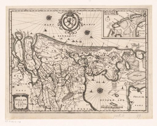 Map of the County of Holland
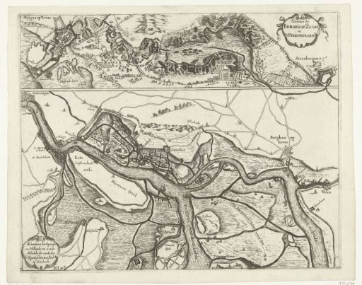 Fortifications during the Siege of Bergen op Zoom in 1622 and the fortifications along the Scheldt in 1627
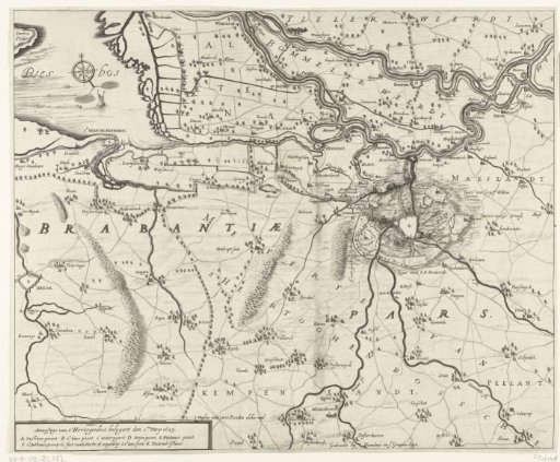 Map with the siege of 's-Hertogenbosch by Frederick Henry, 1629
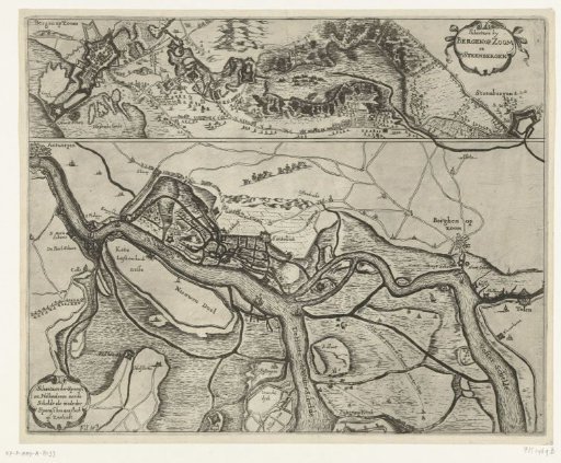 Fortifications at Bergen op Zoom and Steenbergen and along the Scheldt, ca. 1622
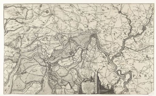 Map of the Scheldt and the Redoubt at Zandvliet
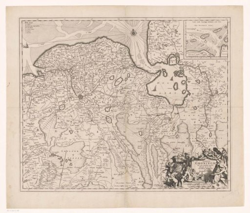 Map of the province of Groningen and part of Drenthe