Public domain
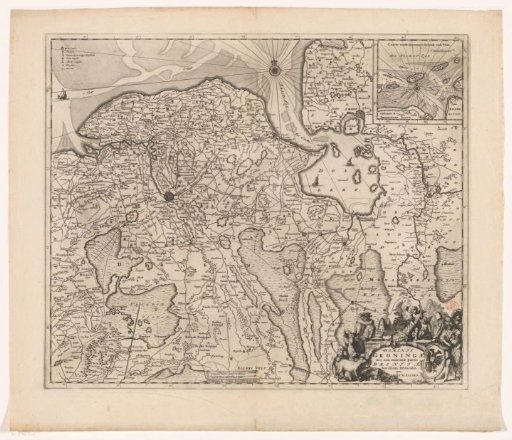
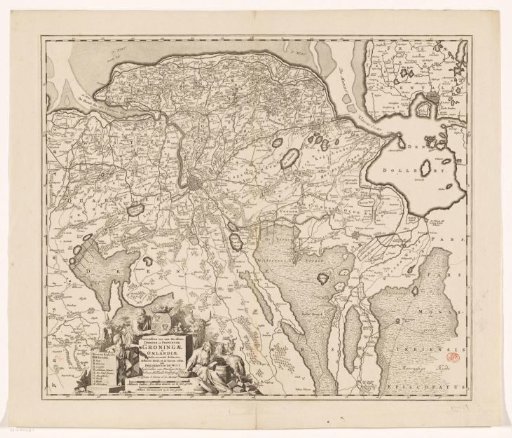
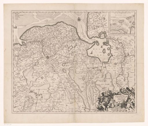
Map of the province of Groningen and part of Drenthe
From the collection of Rijksmuseum, Amsterdam. Free to download, adapt and use — no permission needed.
About this work
Top left legend. Top right inset map of the Wadden Sea area. Bottom right title cartouche and two scale bars: Gemeene Duytsche Mylen van 15 in een Graedt, Gemeene France mylen ofte uren gaens. Surrounding this the coat of arms of the province of Groningen, putti, several male figures, including a peat carrier, and cheese. Degree division along the edges. With grid.
Rijksmuseum, Amsterdam’s own descriptionCredit lineKaart van de provincie Groningen en een deel van Drenthe. 1663 - 1670. Romeyn de Hooghe. Rijksmuseum, Amsterdam. Public domain.