Public domain
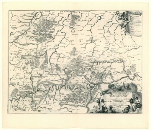
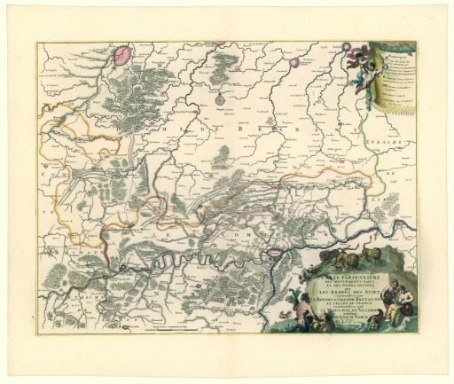
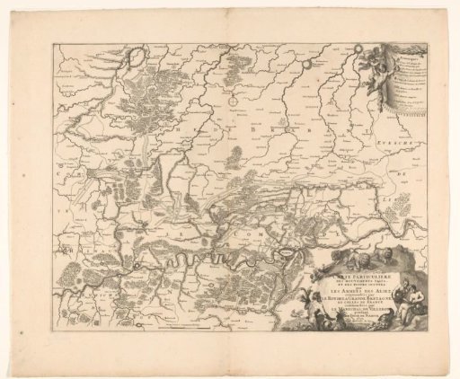
Map showing the positions of the Allies and the French during the siege of Namur, 1695
From the collection of Rijksmuseum, Amsterdam. Free to download, adapt and use — no permission needed.
About this work
Map of the wider surroundings of the city of Namur with parts of the provinces of Brabant, Namur and Hainaut. Here the positions of the troops of the allies and the French are indicated during the siege of Namur 3 July - 5 September 1695. In the lower right an allegorical cartouche in which lions drive away the French roosters. In the upper right a cartouche with an explanation of the symbols used. Below, to the left of the center, a scale bar: Deux Lieues communes du Pays.
Rijksmuseum, Amsterdam’s own descriptionCredit lineKaart met de posities van de geallieerden en de Fransen bij het beleg van Namen, 1695. 1695 - 1720. anonymous. Rijksmuseum, Amsterdam. Public domain.