Public domain
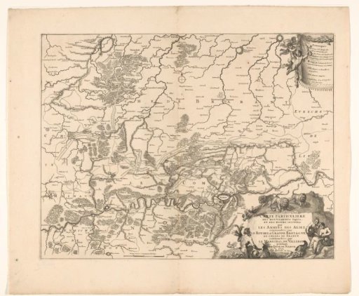
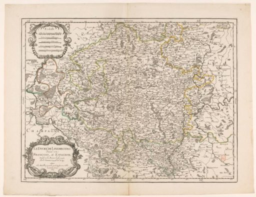
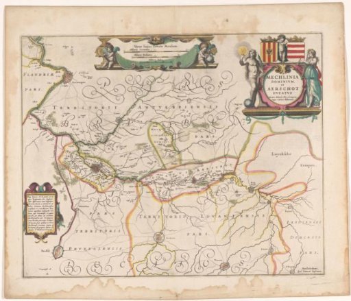
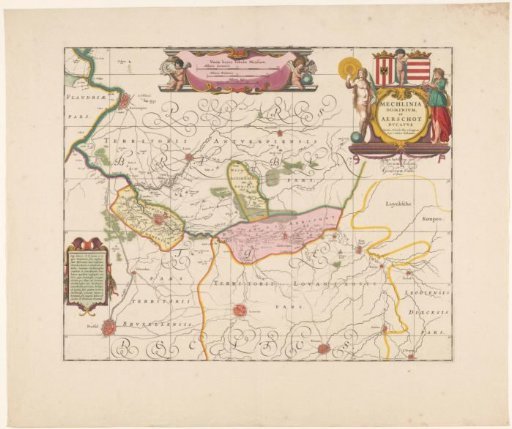
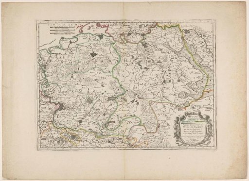
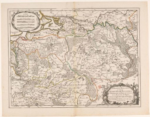
Map of Brabant
From the collection of Rijksmuseum, Amsterdam. Free to download, adapt and use — no permission needed.
About this work
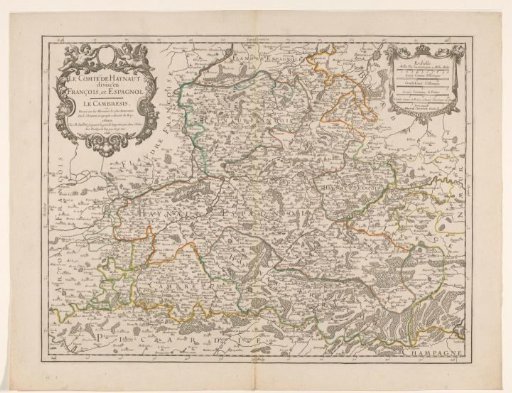
Map of Brabant with various administrative regions (in color) indicated. Bottom right, the title cartouche. Top left, a cartouche with a legend and five scales: 10 Milles Pas Geomet. ou Mille d'Italie / 4 Lieues Communes de France / Grandes Lieues de France ou Comunes des Pays bas / 2 Lieues Comunes d'Allemagne / 2 Grandes Lieues d'Allemagne. The map is provided with a degree division along the edges.
Rijksmuseum, Amsterdam’s own descriptionCredit lineKaart van Brabant. 1681. Rijksmuseum, Amsterdam. Public domain.