Public domain
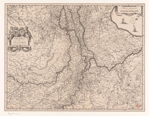
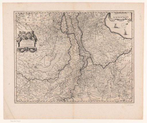
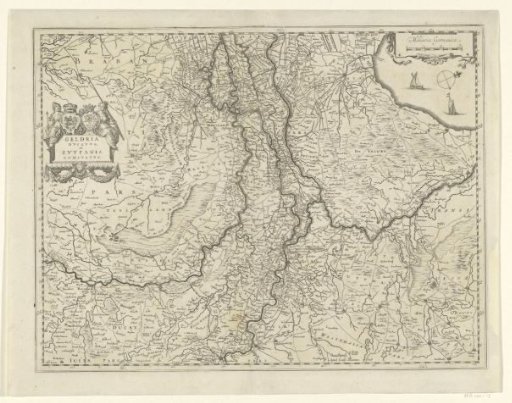
Map of Gelderland and Zutphen
From the collection of Rijksmuseum, Amsterdam. Free to download, adapt and use — no permission needed.
About this work
Map of the duchy of Gelderland and the county of Zutphen on a scale of 1:550,000 with north to the right. Left a cartouche with the title with the coats of arms of Gelderland and Zutphen above it, flanked by two supporters. Top right the Zuiderzee with two sailing ships, a wind rose and a scale division in German miles.
Rijksmuseum, Amsterdam’s own descriptionCredit lineKaart van Gelderland en Zutphen. 1630 - 1631. Willem Janszoon Blaeu. Rijksmuseum, Amsterdam. Public domain.