Public domain
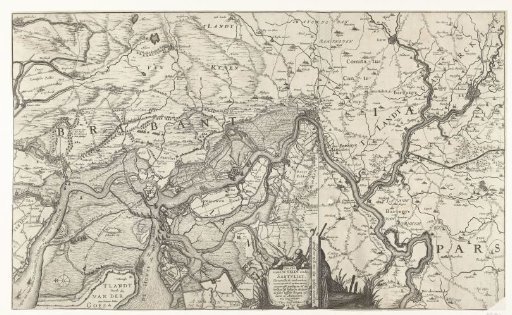
Map of the Scheldt and the Redoubt at Zandvliet
From the collection of Rijksmuseum, Amsterdam. Free to download, adapt and use — no permission needed.
About this work
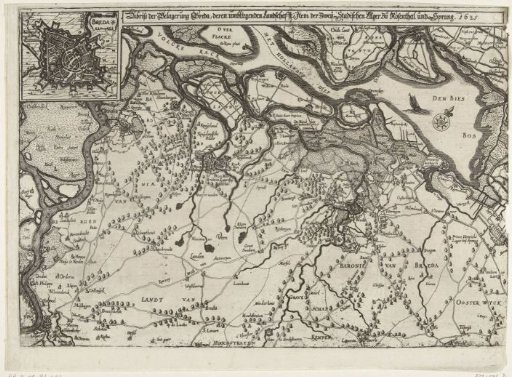
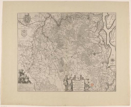
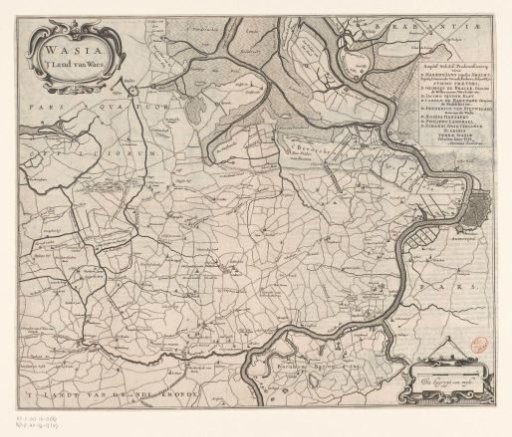
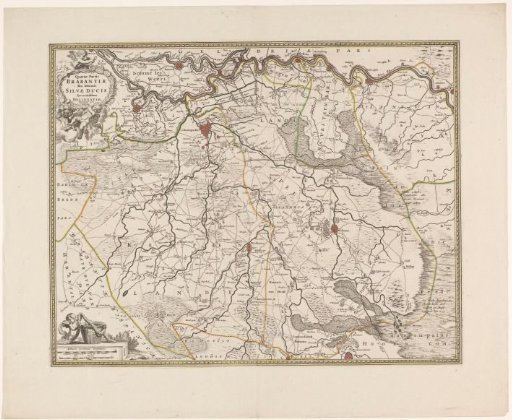
Map of the Scheldt, with all waterways, creeks and flooded land between Bergen op Zoom, Zandvliet, Antwerp and Mechelen. Three sheets pasted together. The original map with the Scheldt between Bergen op Zoom and Antwerp is extended with two sheets above and to the right with the area up to Roosendaal (left) and Mechelen (right). In the middle bottom, the cartouche with the title and a fisherman.
Rijksmuseum, Amsterdam’s own descriptionCredit lineMap of the Scheldt and the Redoubt at Zandvliet. 1627. Claes Jansz. Visscher (II). Rijksmuseum, Amsterdam. Public domain.