Public domain
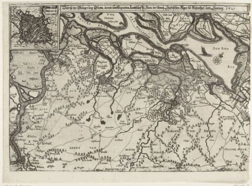
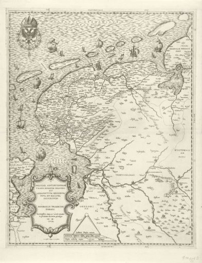
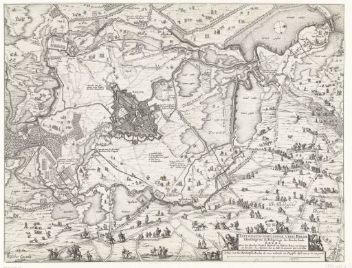
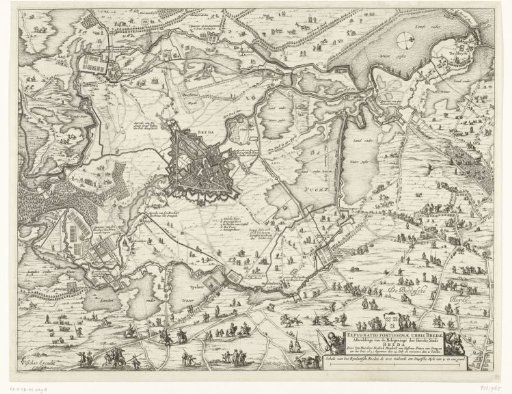
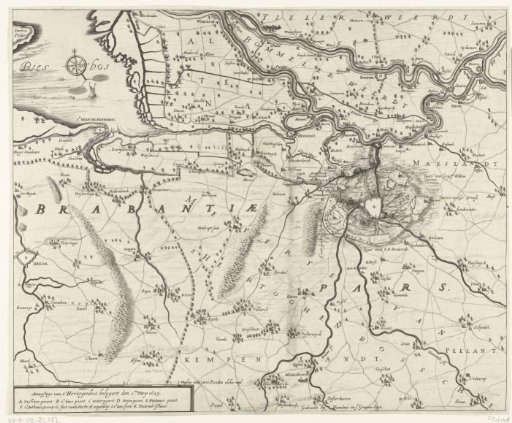
Map with the siege of 's-Hertogenbosch by Frederick Henry, 1629
From the collection of Rijksmuseum, Amsterdam. Free to download, adapt and use — no permission needed.
About this work
Map with the siege of 's-Hertogenbosch by the States' army under Frederick Henry, from 1 May to 17 September 1629. Map of a large part of Brabant with the Bommelerwaard, Tielerwaard, and the Biesbos. In the lower left, a cartouche with the legend A-K.
Rijksmuseum, Amsterdam’s own descriptionCredit lineKaart met het beleg van Den Bosch door Frederik Hendrik, 1629. 1629. Rijksmuseum, Amsterdam. Public domain.