Public domain
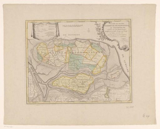
Map of the islands of Noord-Beveland, Wolphaartsdijk, and Oost-Beveland
From the collection of Rijksmuseum, Amsterdam. Free to download, adapt and use — no permission needed.
About this work
Top left a cartouche with a legend. Top center a scale bar: Scale of a thousand Rhineland rods. Top right the title cartouche. Degree division along the edges.
Rijksmuseum, Amsterdam’s own descriptionCredit lineKaart van de eilanden Noord-Beveland, Wolphaatsdijk en Oost-Beveland. 1753 - 1760. anonymous. Rijksmuseum, Amsterdam. Public domain.
Similar works
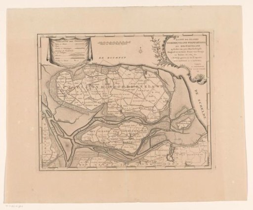 Map of the islands Noord-Beveland, Wolphaatsdijk and Oost-Beveland
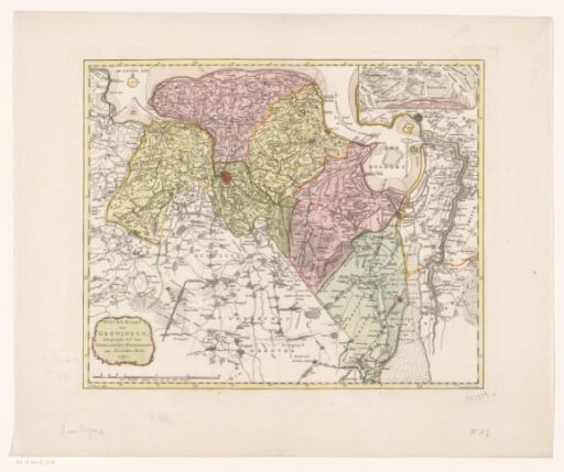 Map of the province of Groningen
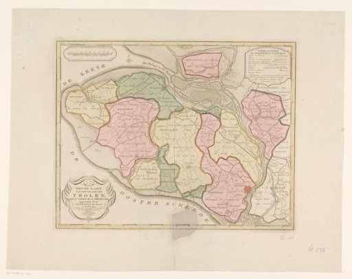 Map of the island of Tholen
 Map of the Haarlemmermeer and surrounding areas
 Map of the provinces of Holland, Utrecht and Gelderland with the fortifications and forts built during the war of 1672
 Map of Drenthe