Public domain
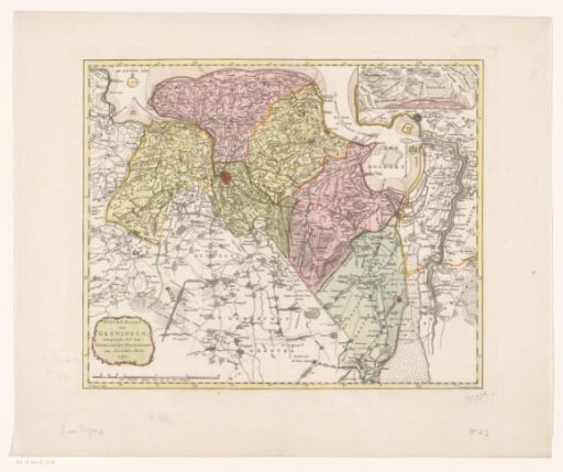
Map of the province of Groningen
From the collection of Rijksmuseum, Amsterdam. Free to download, adapt and use — no permission needed.
About this work
Title cartouche and scale bar in the lower left: Four German miles of 15 to a degree. Insert map of the Wadden Sea in the upper right. Degree divisions along the edges.
Rijksmuseum, Amsterdam’s own descriptionSubjects
Credit lineKaart van de provincie Groningen. 1790. Jan van Jagen. Rijksmuseum, Amsterdam. Public domain.
Similar works
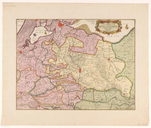 Map of the provinces of Holland, Utrecht and Gelderland with the fortifications and forts built during the war of 1672
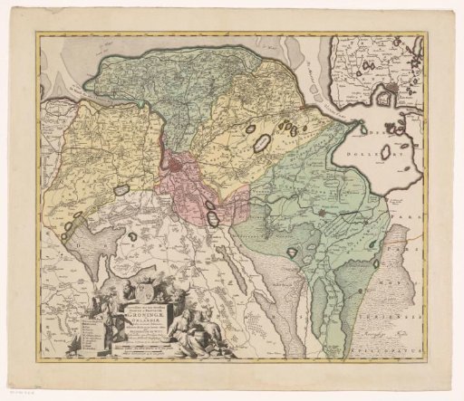 Map of the province of Groningen
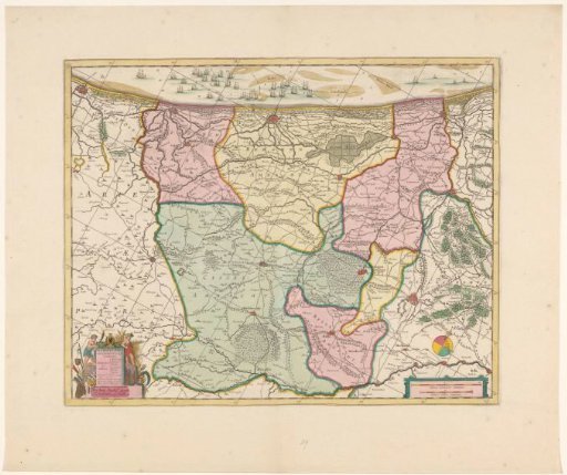 Map of the western part of Flanders
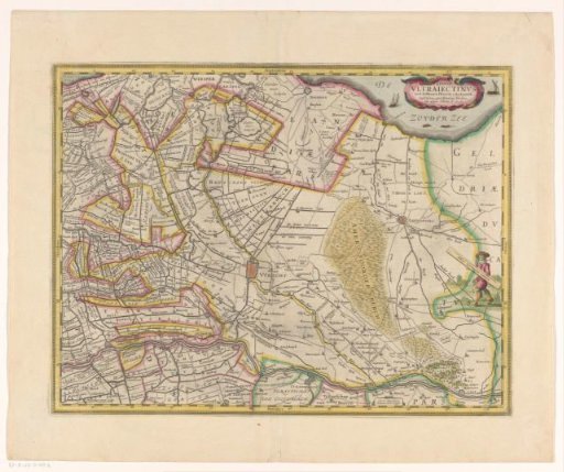 Map of the province of Utrecht
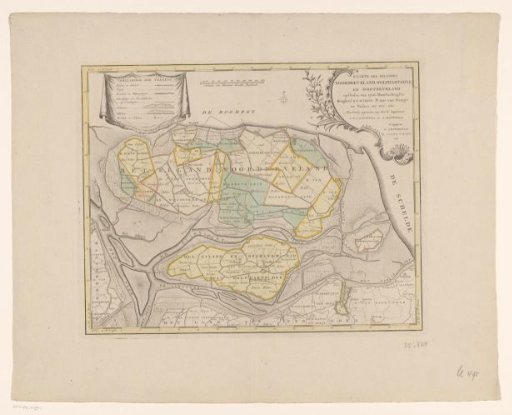 Map of the islands of Noord-Beveland, Wolphaartsdijk, and Oost-Beveland
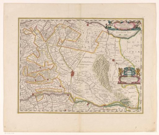 Map of the province of Utrecht