Public domain
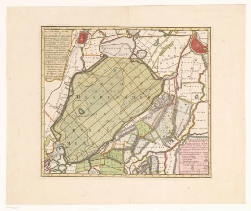
Map of the Haarlemmermeer and surrounding areas
From the collection of Rijksmuseum, Amsterdam. Free to download, adapt and use — no permission needed.
About this work
Map of the Haarlemmermeer and surrounding areas, with a proposal for the poldering of the lake. Title cartouche and scale bar in the upper left: Scale of 700 rods. Cartouche with information in the lower right. Degree divisions along the edges.
Rijksmuseum, Amsterdam’s own descriptionCredit lineKaart van het Haarlemmermeer en omliggende gebieden. 1745 - c. 1769. anonymous. Rijksmuseum, Amsterdam. Public domain.
Similar works
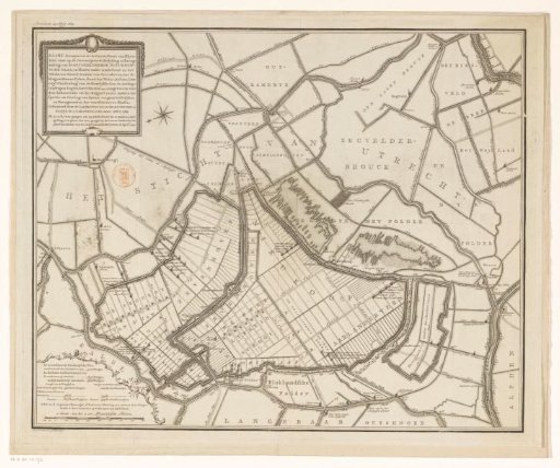 Map with a concept for the embankment and reclamation of the Nieuwkoopse Plassen
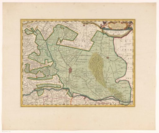 Map of the province of Utrecht
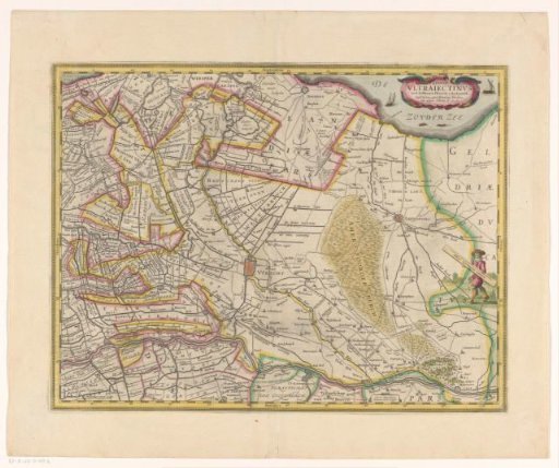 Map of the province of Utrecht
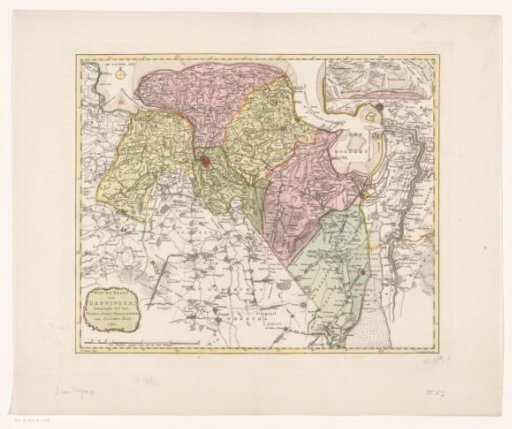 Map of the province of Groningen
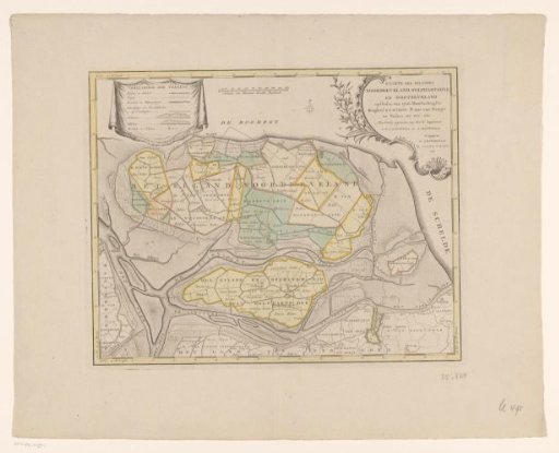 Map of the islands of Noord-Beveland, Wolphaartsdijk, and Oost-Beveland
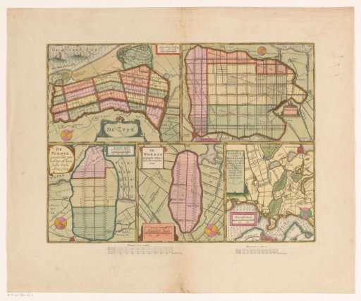 Sheet with maps of the polders of the Zijpe, Beemster, Purmer, Wormer and a map of Waterland