Public domain
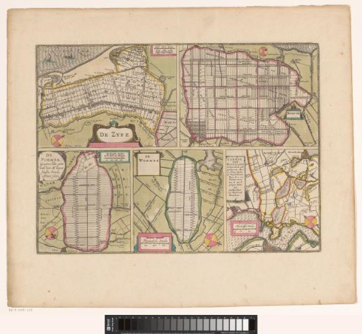
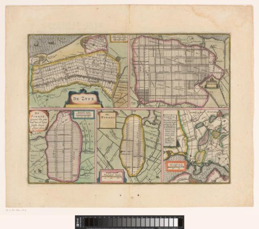
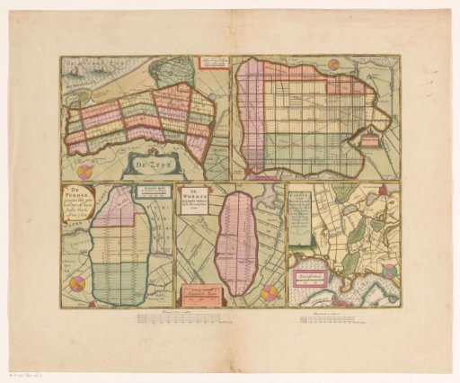
Sheet with maps of the polders of the Zijpe, Beemster, Purmer, Wormer and a map of Waterland
From the collection of Rijksmuseum, Amsterdam. Free to download, adapt and use — no permission needed.
About this work
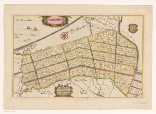
Sheet with five maps of embanked and divided polders. Top left: the Zijpe (1597) with the Wieringerwaard to its right, and top right two scale bars: Zypse dyck-roeden; Zypse landt-roeden. Top right: the Beemster (1612) with a scale bar bottom left: Rynlandsche roeden. Bottom left: the Purmer (1622) with a scale bar top right: Rynlantsche roeden de 600 doen een morgen. Bottom center: the Wormer (1626) with a scale bar bottom left: Rhynlandsche roeden. Bottom right: a map of Waterland with the polders of the Buikslotermeer, Broekermeer and Belmermeer (1628) and a scale bar bottom left: Rhynlandsche roeden.
Rijksmuseum, Amsterdam’s own descriptionCredit lineBlad met kaarten van de polders van de Zijpe, Beemster, Purmer, Wormer en een kaart van Waterland. 1631. Pieter van der Keere. Rijksmuseum, Amsterdam. Public domain.