Public domain
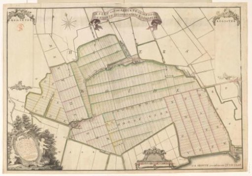
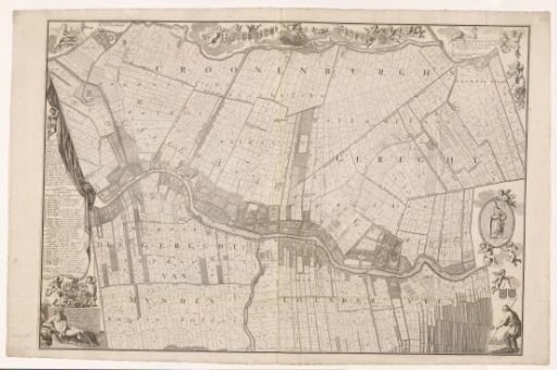
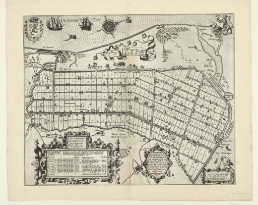
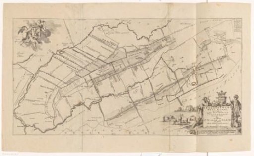
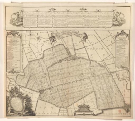
Map of the Noordplaspolder
From the collection of Rijksmuseum, Amsterdam. Free to download, adapt and use — no permission needed.
About this work
Along the top: names of the guild masters of Hazerswoude, Benthuizen, Noord-Waddinxveen, Hogeveen, Zoeterwoude, and Benthorn. Center below: scroll with title. Left and right: cartouches with a register showing the size of various areas of the guilds within the polder. Bottom left: cartouche with text, hand-signed by Klaas Vis. Bottom right of center: scale bar: Maate van vyfhondert Rhynlandse roeden.
Rijksmuseum, Amsterdam’s own descriptionCredit lineKaart van de Noordplaspolder. in or after 1767. T. Koning. Rijksmuseum, Amsterdam. Public domain.