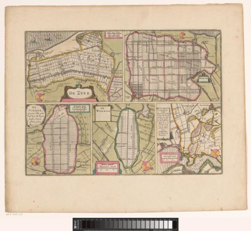
Sheet with maps of the polders of the Zijpe, Beemster, Purmer, Wormer and a map of Waterland
From the collection of Rijksmuseum, Amsterdam. Free to download, adapt and use — no permission needed.
Sheet with five maps of reclaimed and divided polders. In the upper left the Zijpe (1597) with the Wieringerwaard to its right and two scale bars in the upper right: Zypse dyck-roeden; Zypse landt-roeden. In the upper right the Beemster (1612) with a scale bar in the lower left: Rynlandsche roeden. In the lower left the Purmer (1622) with a scale bar in the upper right: Rynlantsche roeden de 600 doen een morgen. In the lower center the Wormer (1626) with a scale bar in the lower left: Rhynlandsche roeden. In the lower right a map of Waterland with the polders of the Buikslotermeer, Broekermeer and Belmermeer (1628) and a scale bar in the lower left: Rhynlandsche roeden. Latin text on verso.
Rijksmuseum, Amsterdam’s own descriptionSimilar works
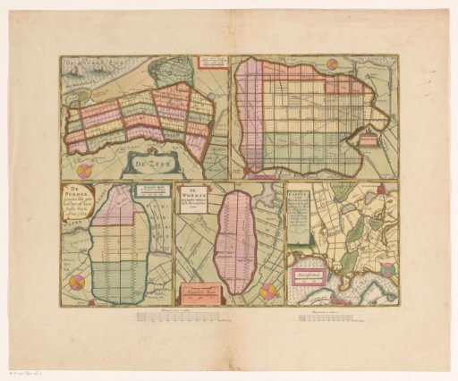 Sheet with maps of the polders of the Zijpe, Beemster, Purmer, Wormer and a map of Waterland
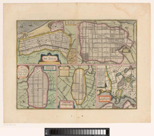 Sheet with maps of the polders of the Zijpe, Beemster, Purmer, Wormer and a map of Waterland
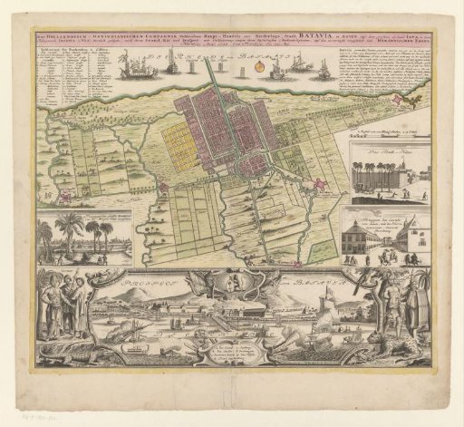 Map and view of Batavia
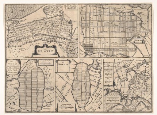 Sheet with maps of the polders of Zijpe, Beemster, Purmer, Wormer, and a map of Waterland.
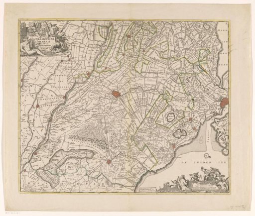 Map of the province of Utrecht
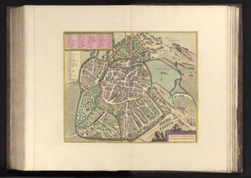 View of Vicenza in Bird's-Eye Perspective