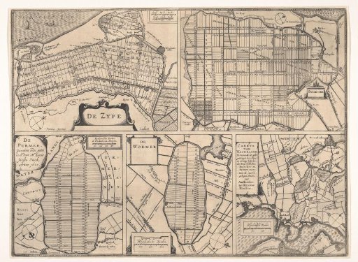
Sheet with maps of the polders of Zijpe, Beemster, Purmer, Wormer, and a map of Waterland.
From the collection of Rijksmuseum, Amsterdam. Free to download, adapt and use — no permission needed.
Sheet with five maps of polders that have been embanked and subdivided. Top left: the Zijpe (1597), with the Wieringerwaard to its right, and two scale bars at the top right: Zypse dyck-roeden; Zypse landt-roeden. Top right: the Beemster (1612), with a scale bar at the bottom left: Rynlandsche roeden. Bottom left: the Purmer (1622), with a scale bar at the top right: Rynlantsche roeden de 600 doen een morgen. Bottom center: the Wormer (1626), with a scale bar at the bottom left: Rhynlandsche roeden. Bottom right: a map of Waterland showing the polders of the Buikslotermeer, Broekermeer, and Belmermeer (1628), with a scale bar at the bottom left: Rhynlandsche roeden.
Rijksmuseum, Amsterdam’s own descriptionSimilar works
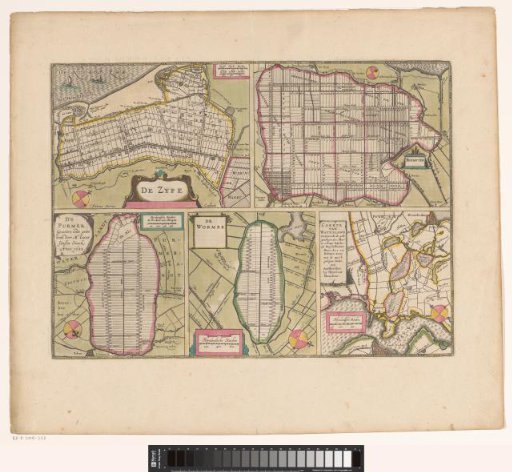 Sheet with maps of the polders of the Zijpe, Beemster, Purmer, Wormer and a map of Waterland
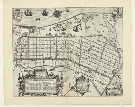 Land Division of the Zijpepolder, 1597
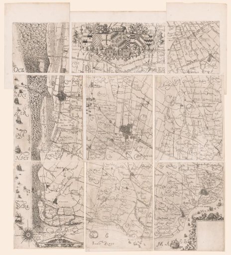 Map of the Hoogheemraadschap of Delfland, consisting of nine parts
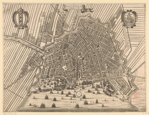 Map of Amsterdam, 1613
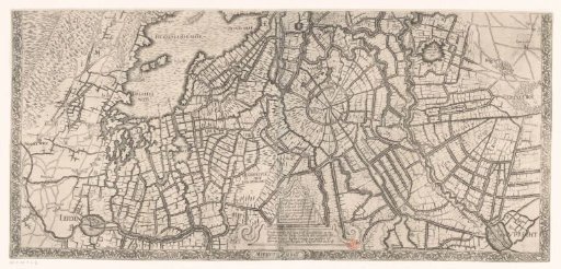 Map of North Holland (lower part)
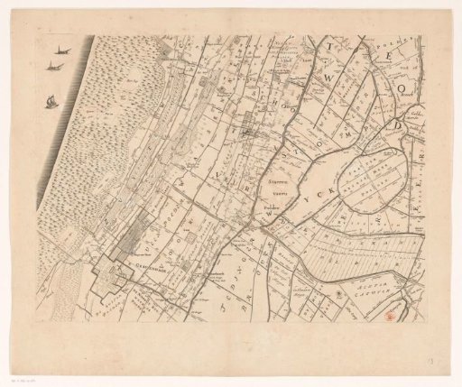 Map of the Hoogheemraadschap of Rijnland (thirteenth part)