Public domain
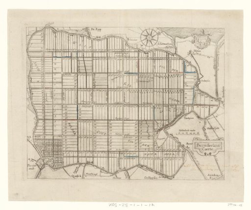
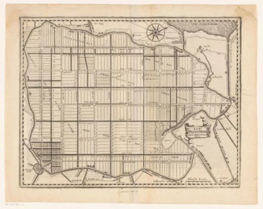
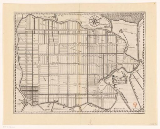
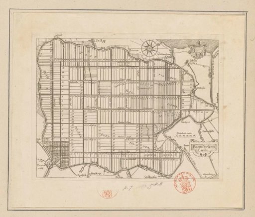
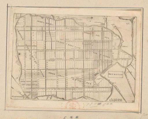
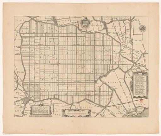
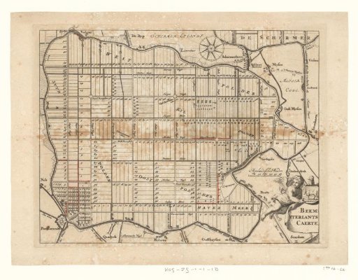
Map of Beemsterland
From the collection of Rijksmuseum, Amsterdam. Free to download, adapt and use — no permission needed.
About this work
Map of the Beemster polder, after the drainage of 1612, with the division into numbered plots. Bottom right: a cartouche with the title and a putto with the municipal coat of arms. Top right: a compass rose. Subject categories within the Atlas Zeden en Gewoonten: topography; plans; polder maps.
Rijksmuseum, Amsterdam’s own descriptionCredit lineBeemsterlants Caerte. 1700 - 1799. anonymous. Rijksmuseum, Amsterdam. Public domain.