Public domain
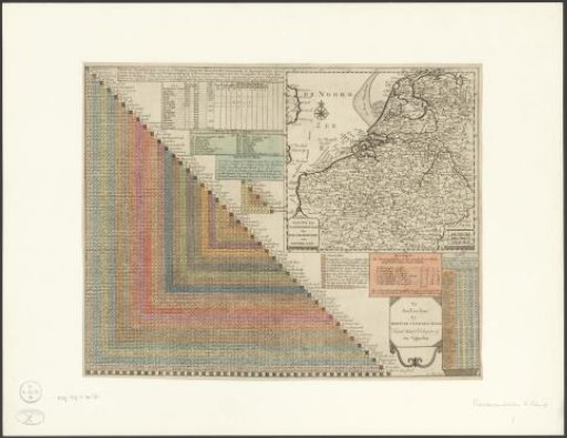
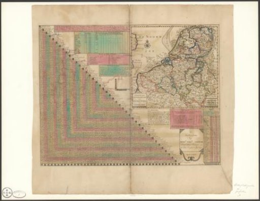
Distance Table of Dutch Cities
From the collection of Rijksmuseum, Amsterdam. Free to download, adapt and use — no permission needed.
About this work
Distance table with the distances between the main Dutch cities. Left: the table, right: a map of the seventeen Dutch provinces with compass rose and several blocks with different types of information. With a fold down the middle, taken from a book. Subject categories within the Atlas Zeden en Gewoonten: topography; city plans.
Rijksmuseum, Amsterdam’s own descriptionCredit lineAfstandstabel tussen Nederlandse steden. 1764. Pieter Mol. Rijksmuseum, Amsterdam. Public domain.