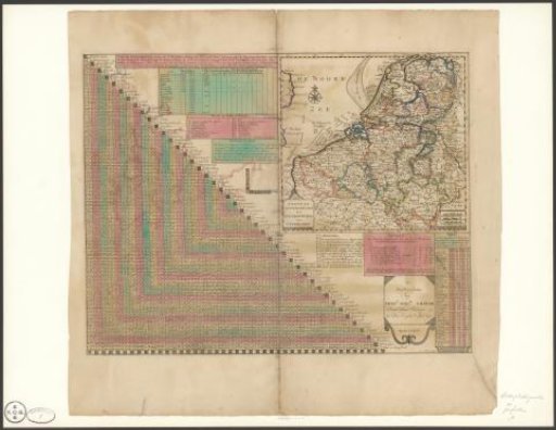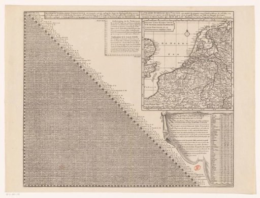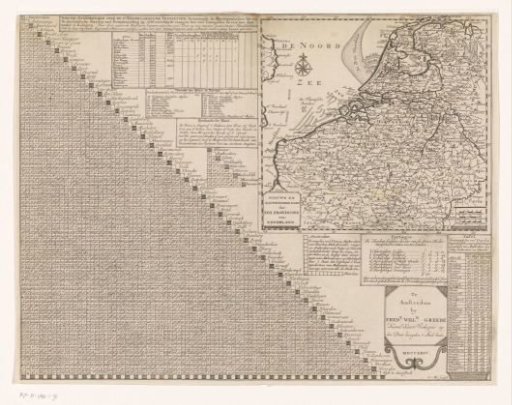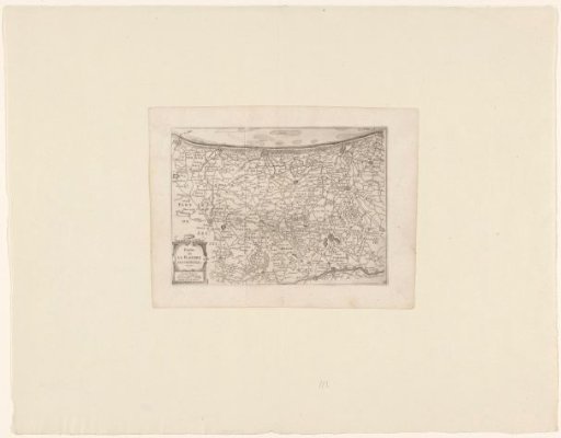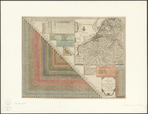
Map of the Seventeen Provinces with Distance Table
From the collection of Rijksmuseum, Amsterdam. Free to download, adapt and use — no permission needed.
On the left, a distance table showing how many walking hours 84 important cities of the Seventeen Provinces are from each other. On the right, a map of the Seventeen Provinces, provided with a degree division along the edges and a scale bar: German miles of 15 to a degree, English miles of 60 to a degree, French miles or hours of travel. Around the map, various sections with: topographical information about several large cities, explanation of the different European miles, explanation of the Rhineland measure, distance table for important North Holland cities, instructions for the distance table, overview of how many guilders each province pays to the States-General, and a distance table showing the number of walking hours between various foreign cities and Amsterdam, The Hague, Rotterdam, and Utrecht. Subject headings within the Atlas Zeden en Gewoonten: Land and water transport, Land transport, Carriages and post.
Rijksmuseum, Amsterdam’s own description