Public domain
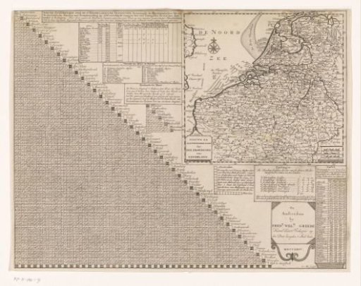
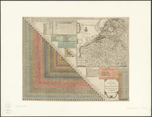
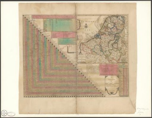
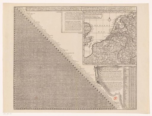
Map of the Seventeen Provinces with distance table
From the collection of Rijksmuseum, Amsterdam. Free to download, adapt and use — no permission needed.
About this work
On the left, a distance table showing the walking hours between 108 major cities of the Seventeen Provinces. On the right, a map of the Seventeen Provinces, equipped with a search grid, a degree scale along the edges, and a scale bar in the bottom left: Common Dutch miles and French miles or walking hours. To the left of the map is an instruction for using the distance table. Below the map is a distance table with an explanation showing the number of walking hours between various foreign cities and Amsterdam, The Hague, Rotterdam, and Utrecht.
Rijksmuseum, Amsterdam’s own descriptionCredit lineKaart van de Zeventien Provinciën met afstandstabel. 1731 - 1740. Jan de Lat. Rijksmuseum, Amsterdam. Public domain.