Public domain
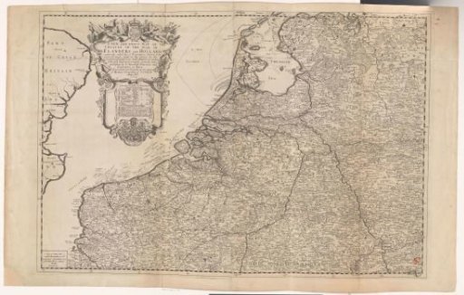
Map of Flanders and Holland
From the collection of Rijksmuseum, Amsterdam. Free to download, adapt and use — no permission needed.
About this work
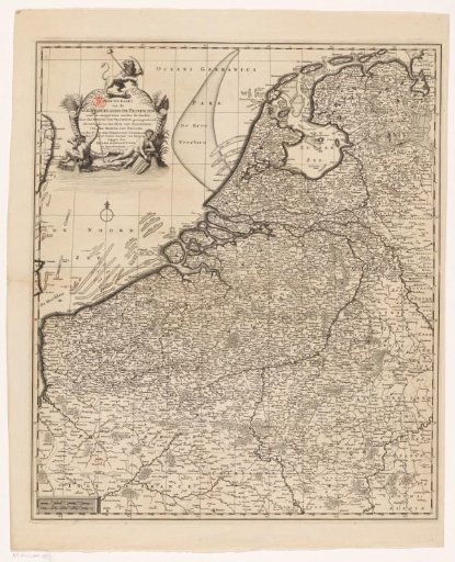
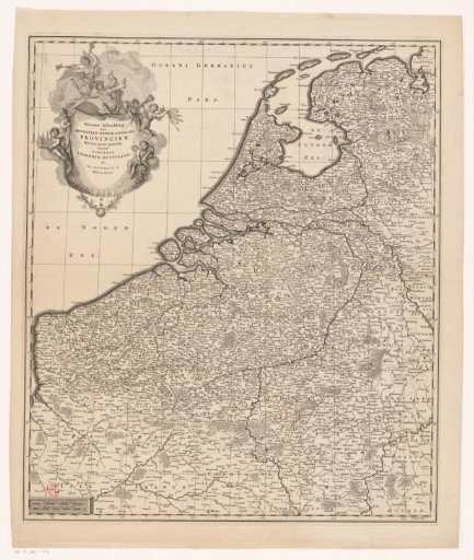
Map of Flanders and Holland. In the upper left the title cartouche, with the coat of arms of England at the top, below the coat of arms of Holland and the coats of arms of the seventeen provinces. In the lower part of the cartouche a table with the names of the provinces and the number of cities and villages per province. In the lower left a frame with scale: Scale of English Miles. The map is provided with a degree division along the edges.
Rijksmuseum, Amsterdam’s own descriptionCredit lineKaart van Vlaanderen en Holland. 1709. Charles Inselin. Rijksmuseum, Amsterdam. Public domain.