Public domain
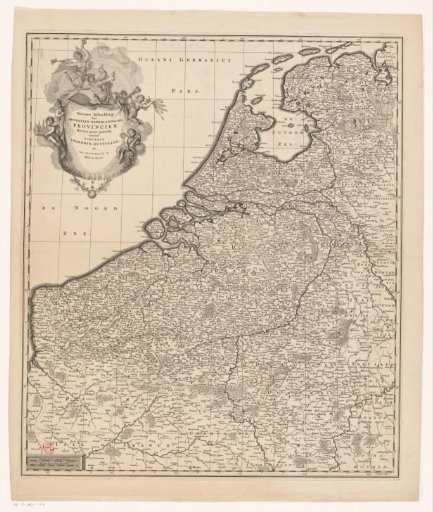
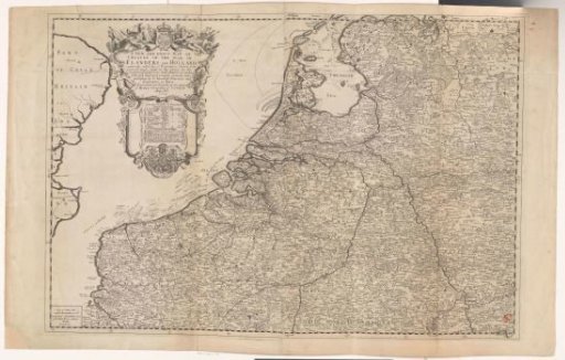
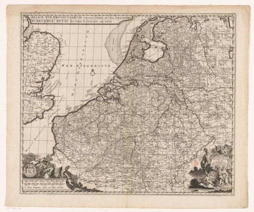
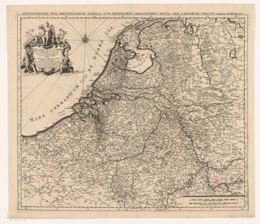
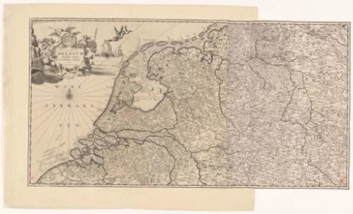
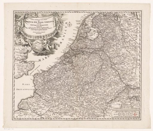
Map of the Seventeen Provinces
From the collection of Rijksmuseum, Amsterdam. Free to download, adapt and use — no permission needed.
About this work
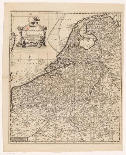
On the map a demarcation line is drawn indicating which areas the Republic had to cede to France, Austria and Prussia after the Barrier Treaty of 1715. In the upper left cartouche, above it the Dutch Lion with a liberty cap and bundle of arrows and below two river gods. In the lower left scale: Dutch miles 23 in a degree and French miles 20 in a degree. The print is provided with a coordinate grid and a degree division along the edges.
Rijksmuseum, Amsterdam’s own descriptionCredit lineKaart van de Zeventien Provinciën. 1715 - 1737. Joachim Ottens. Rijksmuseum, Amsterdam. Public domain.