Public domain
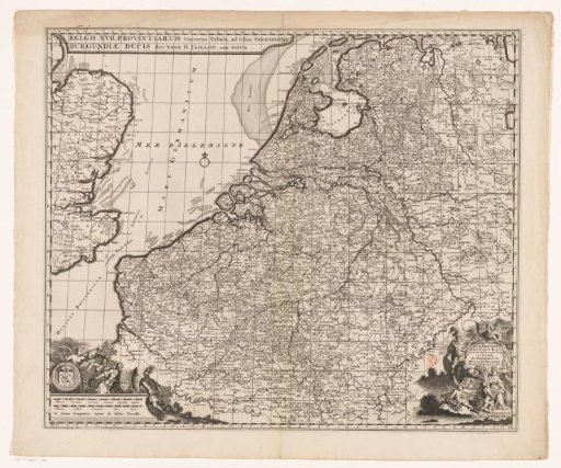
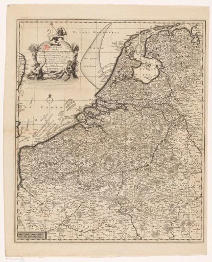
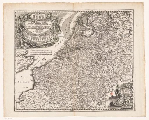
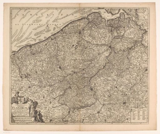
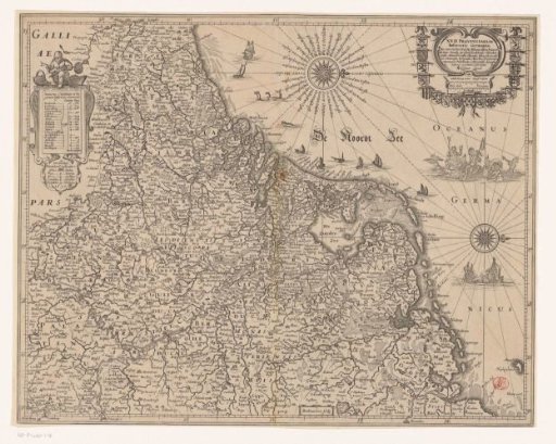
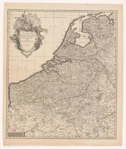
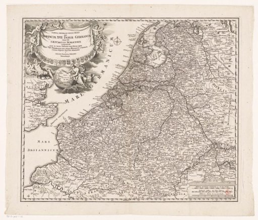
Map of the Seventeen Provinces
From the collection of Rijksmuseum, Amsterdam. Free to download, adapt and use — no permission needed.
About this work
Map of the Seventeen Provinces. In the upper left the title cartouche with the coats of arms of the seventeen provinces. Below the cartouche Neptune and Mercury with a globe on which Nova Hollandia is visible. In the lower right a cartouche with three scales: 15 Milliaria Germania communia 15 in uno Gradu / 20 Milliaria Gallica sive Horae Itineris. The map is provided with a degree division along the edges.
Rijksmuseum, Amsterdam’s own descriptionSubjects
Credit lineKaart van de Zeventien Provinciën. 1707 - 1716. Johann Baptista Homann. Rijksmuseum, Amsterdam. Public domain.