Public domain
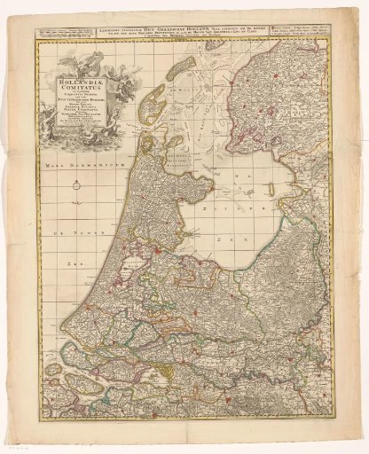
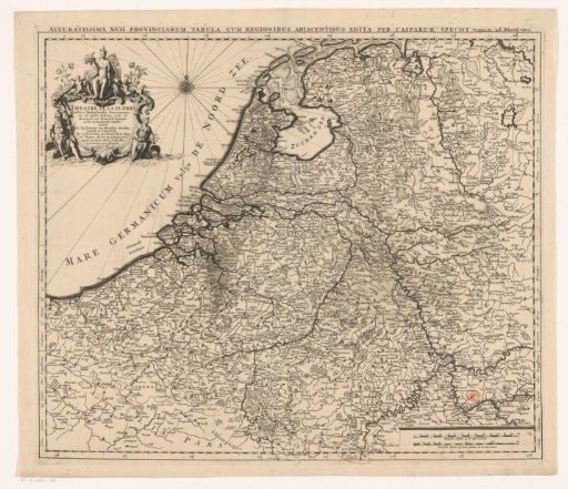
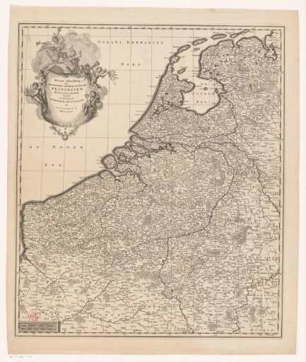
Map of the Seventeen Provinces
From the collection of Rijksmuseum, Amsterdam. Free to download, adapt and use — no permission needed.
About this work
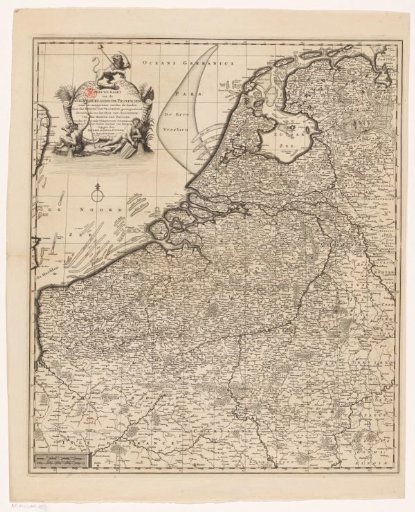
Map of the Seventeen Provinces. Top left a cartouche with Mercury and putti. Bottom left two scale bars: Dutch Miles and French Miles. Along the edges a degree division. The print is provided with a coordinate grid.
Rijksmuseum, Amsterdam’s own descriptionSubjects
Credit lineKaart van de Zeventien Provinciën. 1737 - 1748. Balthasar Ruyter. Rijksmuseum, Amsterdam. Public domain.