Public domain
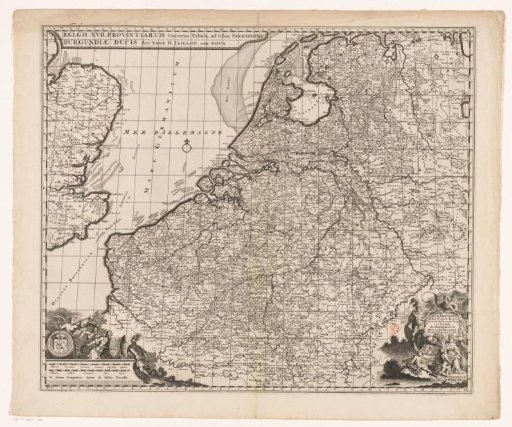
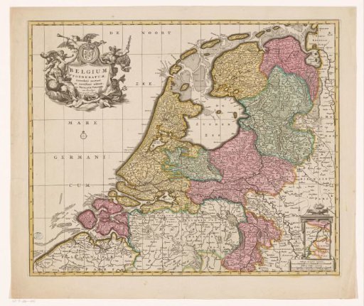
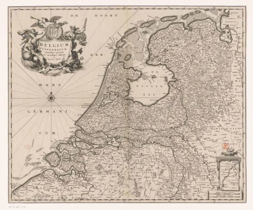
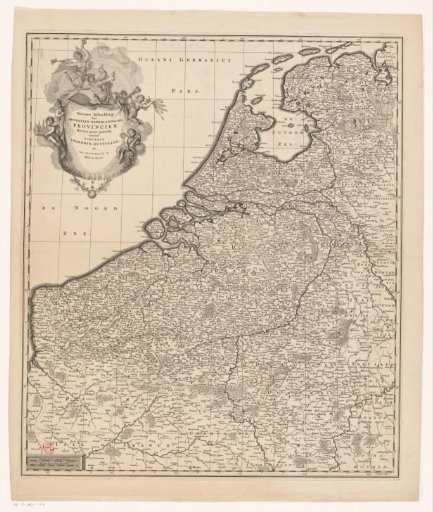
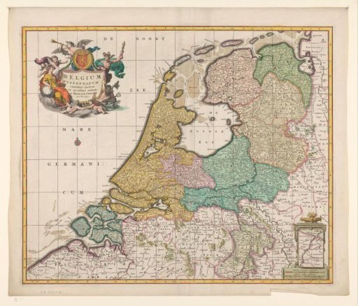
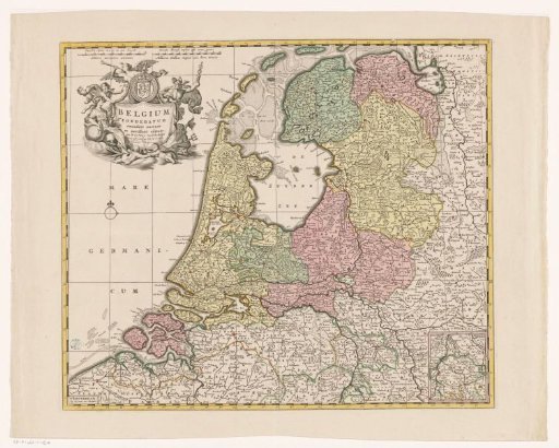
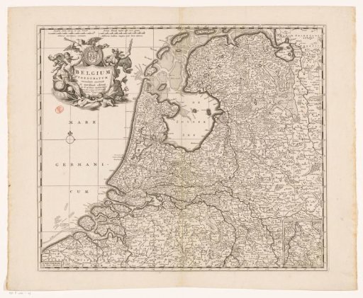
Map of the Republic of the Seven United Netherlands
From the collection of Rijksmuseum, Amsterdam. Free to download, adapt and use — no permission needed.
About this work
Top left cartouche with title and the coat of arms of the Republic, around which various figures are depicted: Urania, Fama, Mercury, Neptune and a number of putti. Bottom right an inset map of a part of present-day Limburg (the part that at the time belonged to States-Brabant). Scale bar top left: Dutch miles of 15 in a degree / Milliaria Germanica communia, Great French miles or hours of walking / Milliaria Gallica magna sive hore itineris. The map is provided with a coordinate grid and a degree division along the edges.
Rijksmuseum, Amsterdam’s own descriptionCredit lineKaart van de Republiek der Zeven Verenigde Nederlanden. after 1710. Frederik de Wit. Rijksmuseum, Amsterdam. Public domain.