Public domain
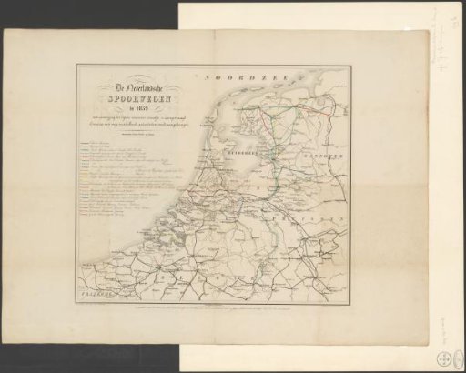
Map of the Dutch railway lines, 1859
From the collection of Rijksmuseum, Amsterdam. Free to download, adapt and use — no permission needed.
About this work
Map of the Dutch railway lines in 1859. On the map, lines indicate which railway lines have been applied for. Under each place name the population count. Subject headings within the Atlas Zeden en Gewoonten: Trade, Industry and Traffic, Land and Water Transport, Land Transport, Railways.
Rijksmuseum, Amsterdam’s own descriptionCredit lineKaart van de Nederlandse spoorlijnen, 1859. 1859. anonymous. Rijksmuseum, Amsterdam. Public domain.
Similar works
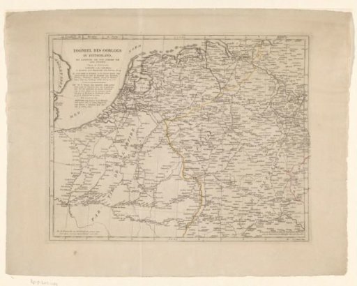 Map of Germany, the Netherlands, and Northern France
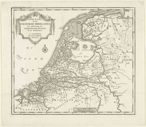 Map of the Netherlands in the Middle Ages
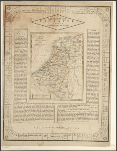 Board Game with the Map of the Netherlands
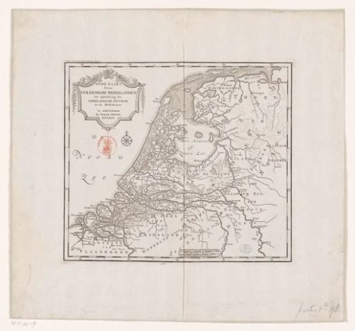 Historical map of the Netherlands in the Middle Ages
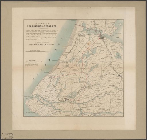 Map of West Netherlands with existing and proposed railways
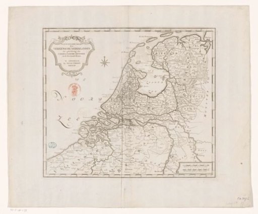 Historical map of the Netherlands in the second half of the sixteenth century