Public domain
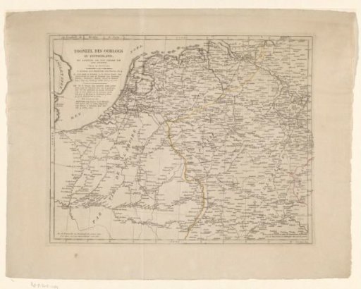
Map of Germany, the Netherlands, and Northern France
From the collection of Rijksmuseum, Amsterdam. Free to download, adapt and use — no permission needed.
About this work
Map of Germany, the Netherlands, and Northern France, showing the distance between cities in hours.
Rijksmuseum, Amsterdam’s own descriptionCredit lineKaart van Duitsland, Nederland en Noord-Frankrijk. 1806 - 1813. Willem Cornelis van Baarsel. Rijksmuseum, Amsterdam. Public domain.
Similar works
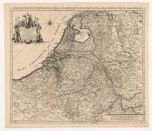 Map of the Seventeen Provinces
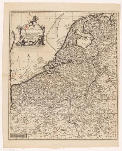 Map of the Seventeen Provinces
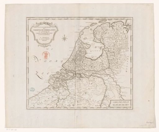 Historical map of the Netherlands in the second half of the sixteenth century
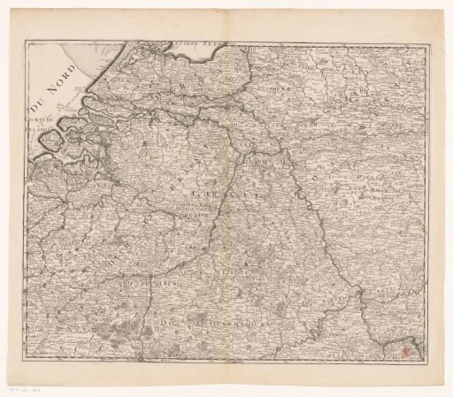 Carte des XVII Provinces des Pays Bas ...
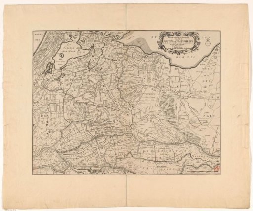 Map of the provinces of Holland, Utrecht and Gelderland with the fortifications and forts built during the war of 1672
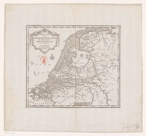 Historical map of the Netherlands in the Middle Ages