Public domain
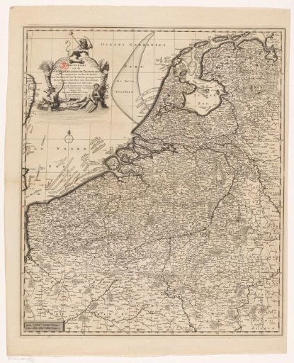
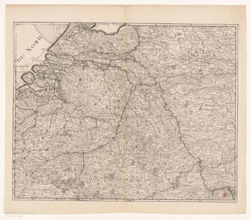
Carte des XVII Provinces des Pays Bas ...
From the collection of Rijksmuseum, Amsterdam. Free to download, adapt and use — no permission needed.
About this work
Part of a three-part map of the Seventeen Provinces with the southern part of Holland, Zeeland, Utrecht, Gelderland, Overijssel and part of the Southern Netherlands. The map is provided with a degree division along the edges.
Rijksmuseum, Amsterdam’s own descriptionSubjects
Credit lineCarte des XVII Provinces des Pays Bas .... 1713. Charles Inselin. Rijksmuseum, Amsterdam. Public domain.