Public domain
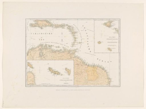
Map of the Dutch Antilles
From the collection of Rijksmuseum, Amsterdam. Free to download, adapt and use — no permission needed.
About this work
Map of the northern part of South America with the Dutch territories. Two insets with maps of the islands Curaçao, Bonaire and Aruba and of the islands Sint-Maarten, Saba and Sint-Eustatius. Part of the series 'Views from the Netherlands' West Indies'.
Rijksmuseum, Amsterdam’s own descriptionCredit lineKaart van de Nederlandse Antillen. 1860 - 1862. Gerard Voorduin. Rijksmuseum, Amsterdam. Public domain.
Similar works
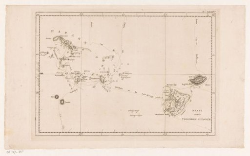 Map of the Tonga Archipelago in Polynesia
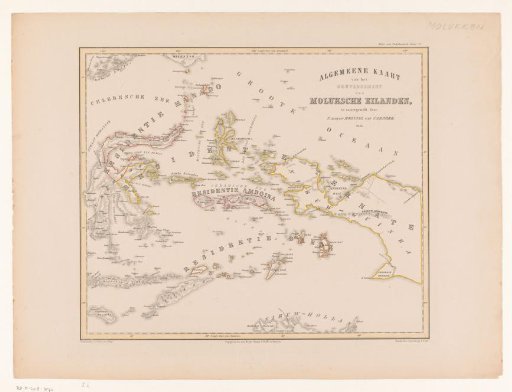 Map of the Moluccas, Celebes, Timor, and the western part of the island of New Guinea
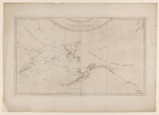 Sea chart of the northwest coast of America and the northeast coast of Asia
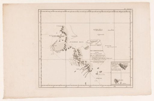 Map of the Kerguelen in the Indian Ocean
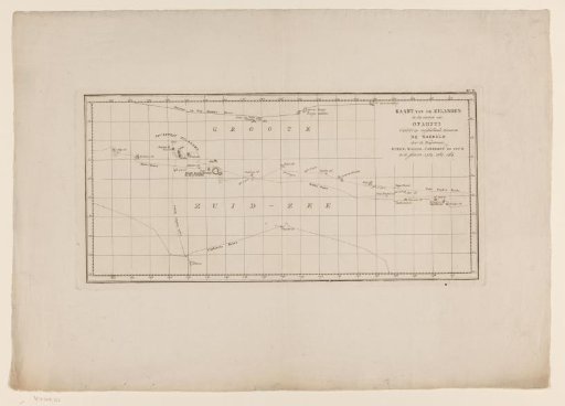 Map of the Society Islands
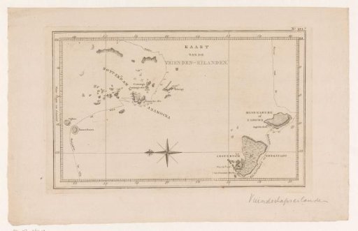 Map of the Tonga Archipelago in Polynesia