Public domain
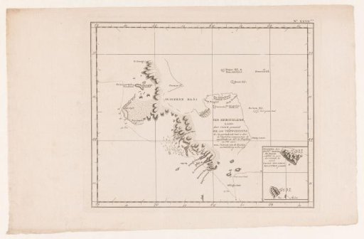
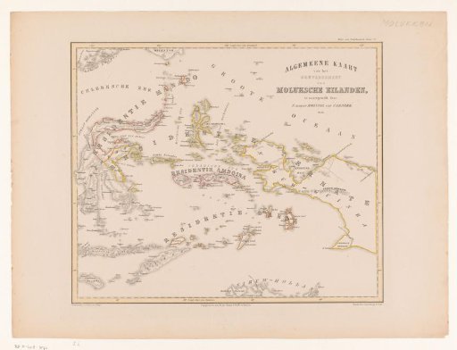
Map of the Moluccas, Celebes, Timor, and the western part of the island of New Guinea
From the collection of Rijksmuseum, Amsterdam. Free to download, adapt and use — no permission needed.
About this work
The depicted islands are located in and around the Banda Sea, the Moluccan Sea, and the Ceram Sea. The northernmost point of Australia is visible at the bottom.
Rijksmuseum, Amsterdam’s own descriptionCredit lineKaart van de Molukken, Celebes, Timor en het westelijke deel van het eiland Nieuw-Guinea. 1855. F. Cronenberg. Rijksmuseum, Amsterdam. Public domain.