Public domain
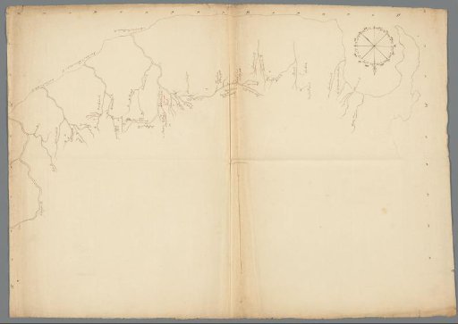
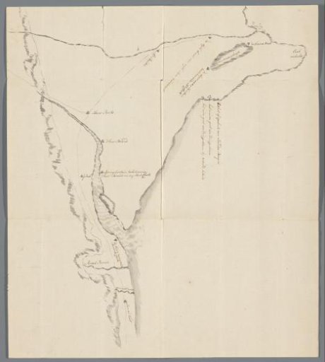
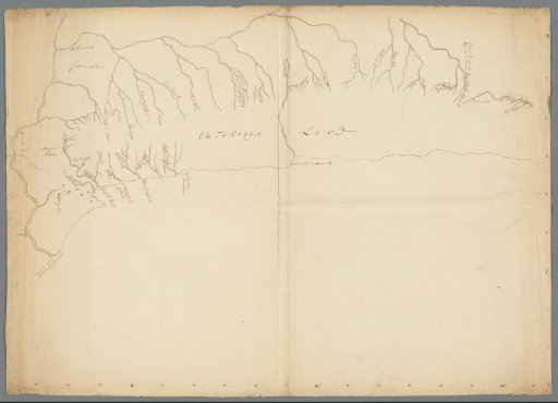
Drawn map of a part of the coast of the Cape Colony
From the collection of Rijksmuseum, Amsterdam. Free to download, adapt and use — no permission needed.
About this work
Drawn map of a section of the coast of the Cape Colony, showing the rivers. Possibly related to the travels of Hendrik Swellengrebel in 1776-1777. With longitude and latitude degrees.
Rijksmuseum, Amsterdam’s own descriptionCredit lineGetekende kaart van een deel van de kust van de Kaapkolonie. c. 1778. anonymous. Rijksmuseum, Amsterdam. Public domain.