Public domain
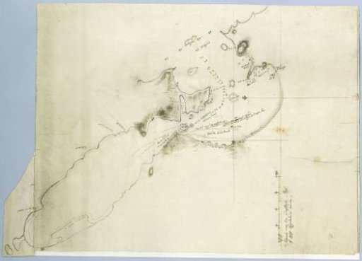
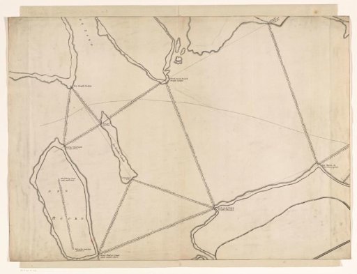
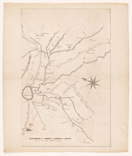
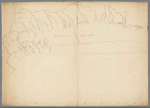
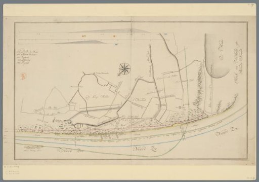
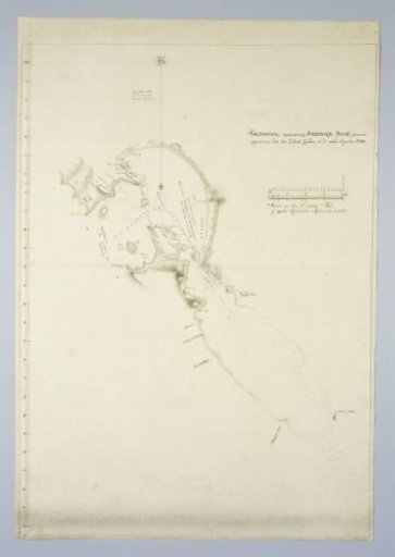
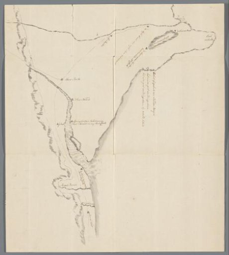
Map of the coastal landscape near present-day Hermanus, east of Cape Town
From the collection of Rijksmuseum, Amsterdam. Free to download, adapt and use — no permission needed.
About this work
Drawn map of the coastal landscape near present-day Hermanus, east of Cape Town. The map shows names of farms, rivers, etc. Several places acquired by Hendrik Cloete from 1778, such as Baviaansfontein and the terrain at the mouth of the Kleine Rivier and the Mosselrivier. At the top the stalactite caves at the Ambrosiushoek visited by Hendrik Swellengrebel on 22 December during his second journey to the northeast of the Cape Colony, 10 September - 26 December 1776.
Rijksmuseum, Amsterdam’s own descriptionCredit lineKaart van het kustlandschap bij het tegenwoordige Hermanus, ten oosten van Kaapstad. 1780 - 1799. anonymous. Rijksmuseum, Amsterdam. Public domain.