Public domain
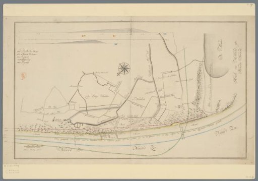
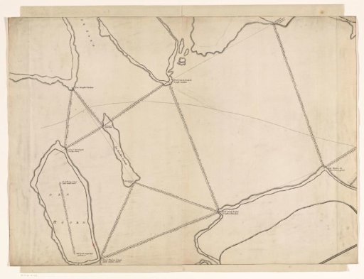
Map of the coast near Ter Heijde and s-Gravenzande
From the collection of Rijksmuseum, Amsterdam. Free to download, adapt and use — no permission needed.
About this work
Printed map of the coast between Ter Heijde and 's-Gravenzande with drawn-in parts. With drawn-in planned new extension of the Delfland Maasdijk between Ter Heijde and 's-Gravenzande. At the top two drawn cross-sections of the dike. On the right Hoek van Holland, 'or Broad Strand'. Bottom left scale bar of 200 'Delfland Rods'.
Rijksmuseum, Amsterdam’s own descriptionCredit lineKaart van de kust bij Ter Heijde en s-Gravenzande. in or after 1763. anonymous. Rijksmuseum, Amsterdam. Public domain.
Similar works
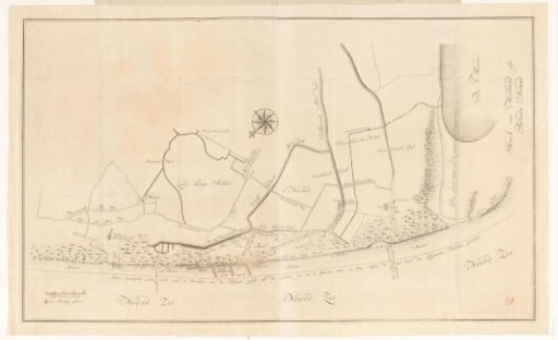 Map of the coastal area between Monster and Hoek van Holland
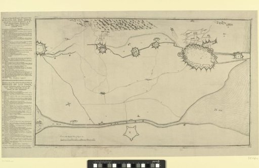 Map with the Fortifications around Bergen op Zoom and Forts in the Surrounding Area
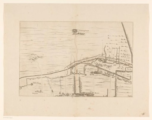 Map of the area between Den Bosch and Geertruidenberg with dike breaches (second sheet)
 Map of the IJ, 1674 (left part)
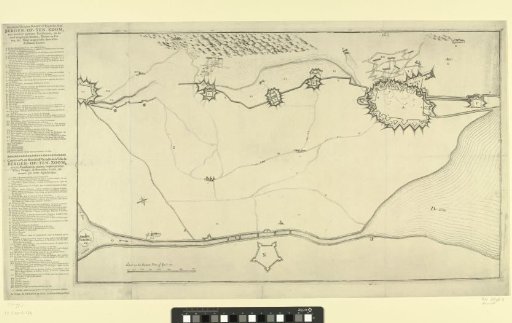 Map with the Fortifications around Bergen op Zoom and Forts in the Surroundings
 Map of the coastal area between Monster and Hoek van Holland