
Public domain
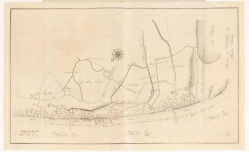
Map of the coastal area between Monster and Hoek van Holland
From the collection of Rijksmuseum, Amsterdam. Free to download, adapt and use — no permission needed.
About this work
Map of the coast of South Holland between Monster and Hoek van Holland. The coloured lines on and in front of the coast show the retreat of the coastline and indicate where the coast reached in 1606, 1665, 1712-1713, 1738 and 1765. In green a new dike to be built, designed by surveyor Pieter Heinsius, is drawn. This 'Nieuwe Slaper Dyk' would unfortunately never be built due to excessive costs. Bottom left a scale bar: 200 Delft rods. Bottom right the legend A-E of the coastlines.
Rijksmuseum, Amsterdam’s own descriptionCredit lineKaart van het kustgebied tussen Monster en Hoek van Holland. 1737. anonymous. Rijksmuseum, Amsterdam. Public domain.
Similar works
 Map of the coastal area between Monster and Hoek van Holland
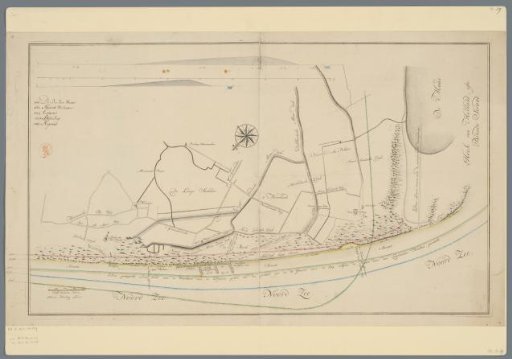 Map of the coast near Ter Heijde and s-Gravenzande
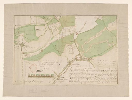 Map of Hulst and surrounding polders
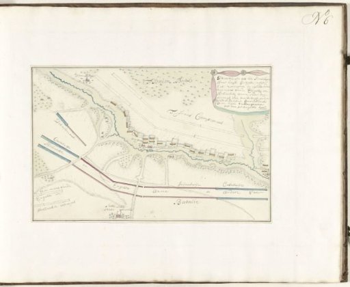 Order of battle of the French army behind the river IJse, 1705
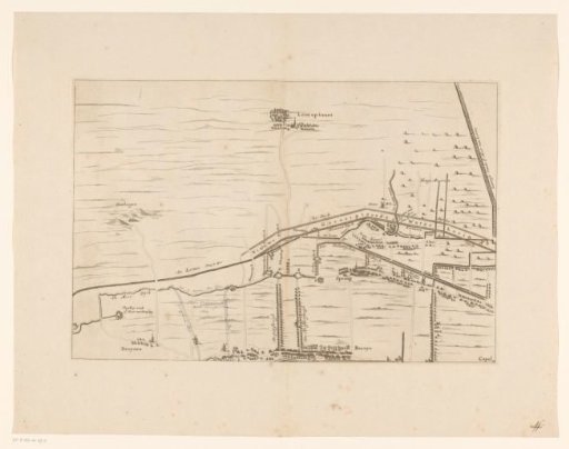 Map of the area between Den Bosch and Geertruidenberg with dike breaches (second sheet)
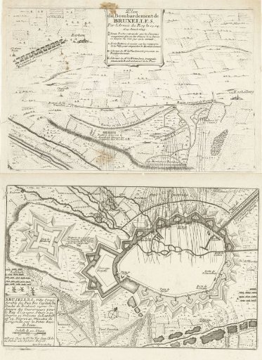 Map of the Bombardment of Brussels by the French, 1695