Public domain
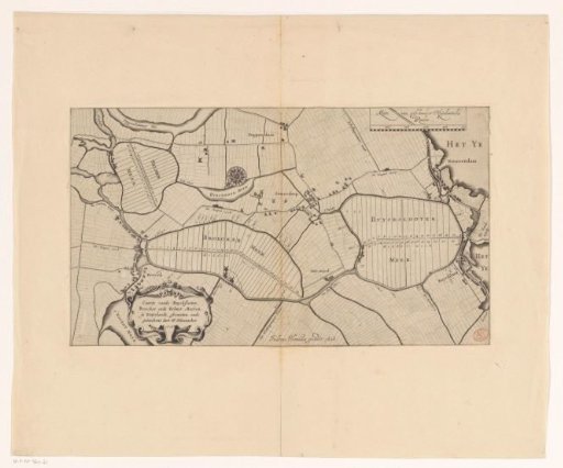
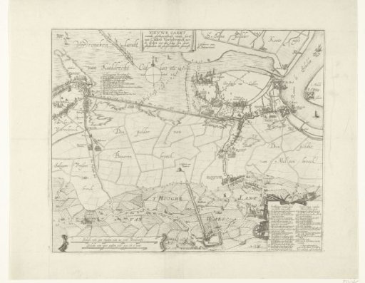
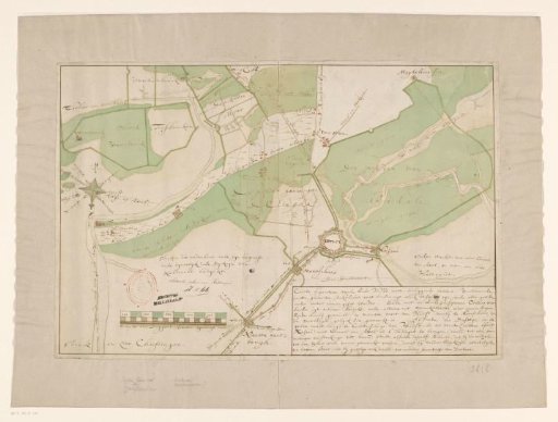
Map of Hulst and surrounding polders
From the collection of Rijksmuseum, Amsterdam. Free to download, adapt and use — no permission needed.
About this work
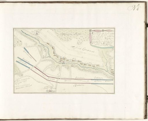
Map of Hulst and surrounding polders. Scale bar in the lower left: Schale van Duysent Roeden Rijnlantse mate. Title cartouche in the lower right. The grayish light beige color indicates the poldered tidal flats, which can be submerged at all tides. The green-colored areas are the poldered salt marshes, which can only be submerged during spring tides.
Rijksmuseum, Amsterdam’s own descriptionCredit lineKaart van Hulst en omliggende polders. 1750 - 1795. anonymous. Rijksmuseum, Amsterdam. Public domain.