Public domain
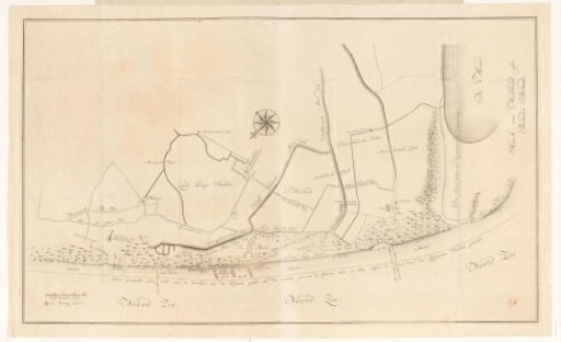
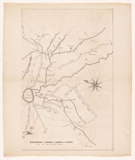
Map of the coastal area between Monster and Hoek van Holland
From the collection of Rijksmuseum, Amsterdam. Free to download, adapt and use — no permission needed.
About this work
Map of the coast of South Holland between Monster and Hoek van Holland. The lower dotted line indicates how far the coast reached in 1712-1713 according to the map by surveyor Nicolaas Cruquius (RP-P-AO-11-7). Bottom left, a scale: 200 Delft rods.
Rijksmuseum, Amsterdam’s own descriptionCredit lineKaart van het kustgebied tussen Monster en Hoek van Holland. 1737. anonymous. Rijksmuseum, Amsterdam. Public domain.
Similar works
 Map of the coast near Ter Heijde and s-Gravenzande
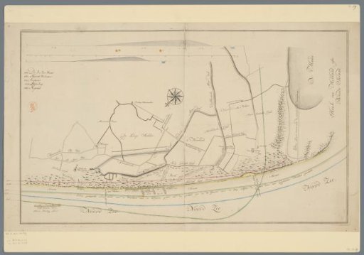
 Map of the coastal area between Monster and Hoek van Holland
 Map of the polder Koegras (upper part)
 Map of the area between Den Bosch and Geertruidenberg with dike breaches (second sheet)
 Map of the Eem River (third part)
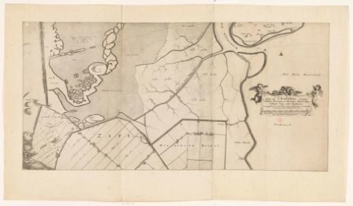 Map of the polder Koegras (lower part)