Public domain
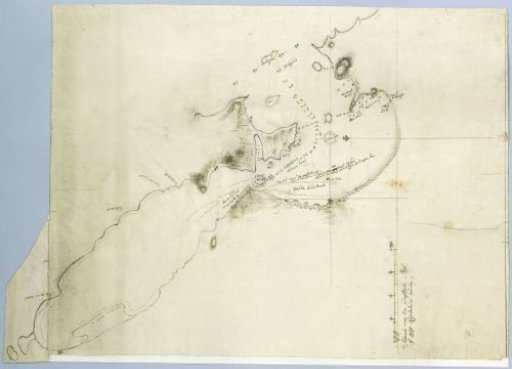
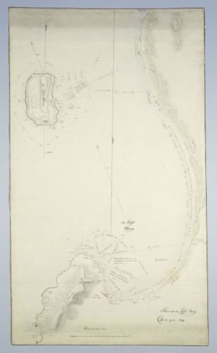
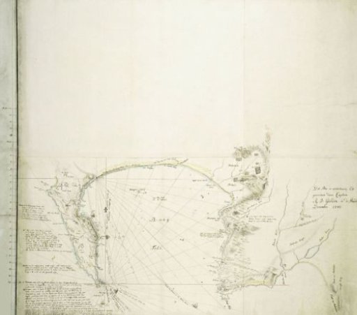
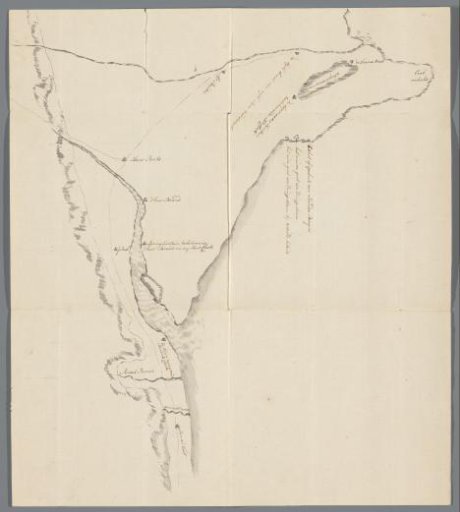
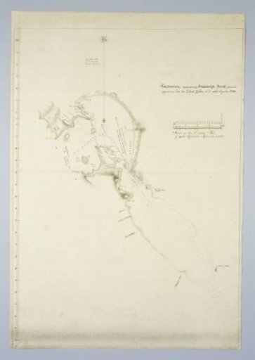
Map of Saldanha Bay, with part of the coast
From the collection of Rijksmuseum, Amsterdam. Free to download, adapt and use — no permission needed.
About this work
Revealed by means of a guide map, provided with minutes from 33º S southwards; with indications and, where known, names of the different areas.
Rijksmuseum, Amsterdam’s own descriptionSubjects
Credit lineKaart van Saldanhabaai, met een deel van de kust. 1784-08. Rijksmuseum, Amsterdam. Public domain.