Public domain
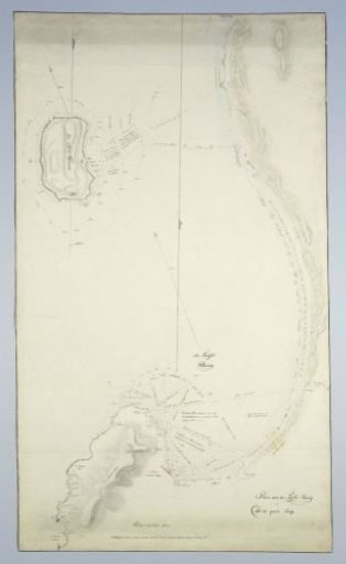
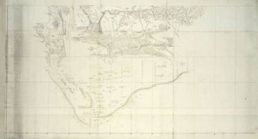
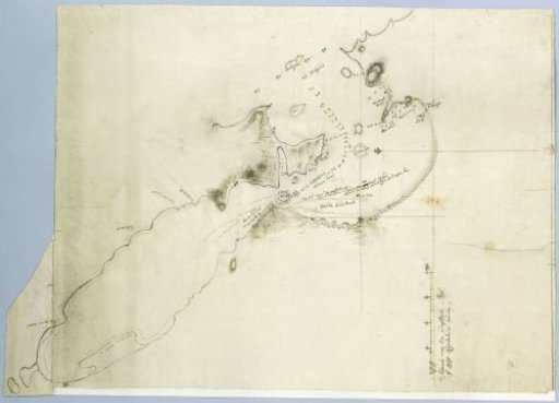
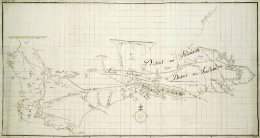
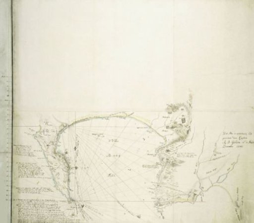
Map of False Bay and the Cape Peninsula
From the collection of Rijksmuseum, Amsterdam. Free to download, adapt and use — no permission needed.
About this work
The map covers the area consisting of the entire Cape Peninsula, False Bay, and the area bounded by Helderberg in the north, Cape Hangklip in the south, and Sandown Bay in the southeast (with guide map, provided with demarcated areas A to C, within which according to minutes of latitude).
Rijksmuseum, Amsterdam’s own descriptionSubjects
Credit lineMap of False Bay and the Cape Peninsula. 1780. Robert Jacob Gordon. Rijksmuseum, Amsterdam. Public domain.