Public domain
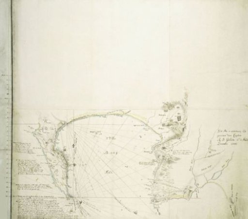
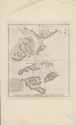
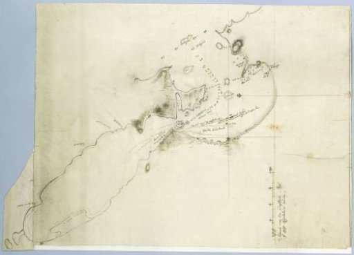
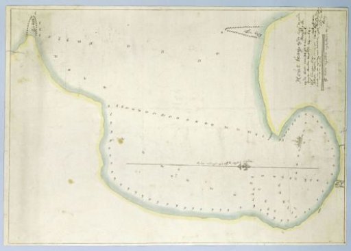
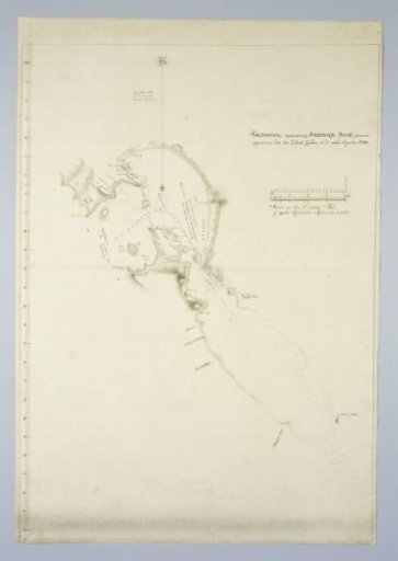
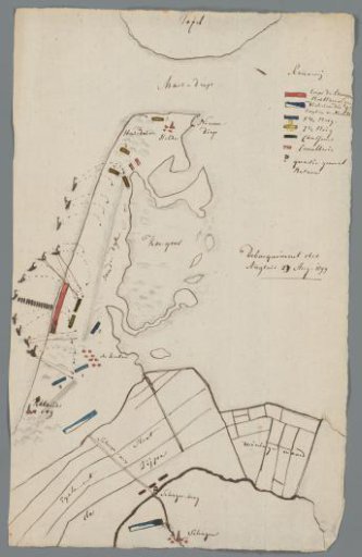
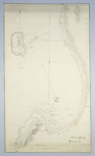
Map of Table Bay and Robben Island
From the collection of Rijksmuseum, Amsterdam. Free to download, adapt and use — no permission needed.
About this work
Revealed by means of a guide map with demarcated areas, indicated by the letters A to G with indications of the type of sand, the existing rocks, and locations with their names; part F: Cape Town, also gives the names of the buildings along Table Bay.
Rijksmuseum, Amsterdam’s own descriptionSubjects
Credit lineMap of Table Bay and Robben Island. c. 1788. Rijksmuseum, Amsterdam. Public domain.