Public domain
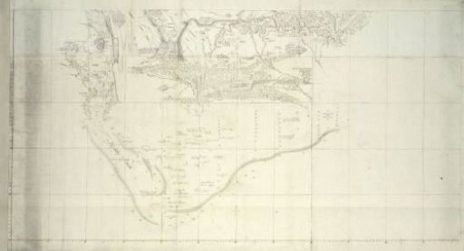
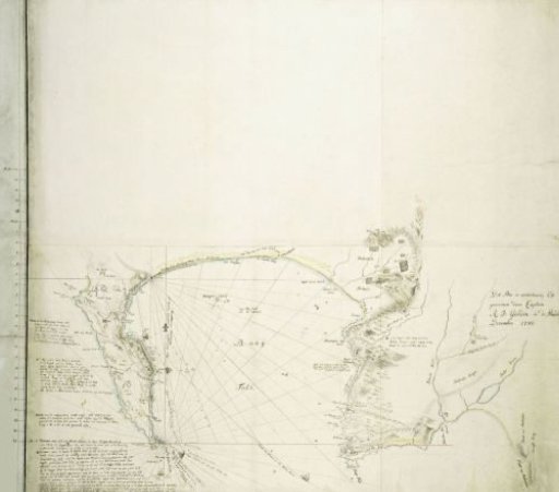
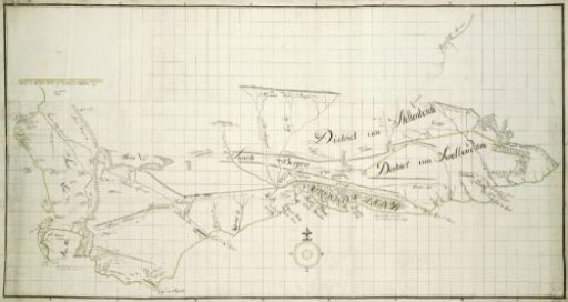
Map of the Southern part of the Cape from St Helena Bay to the Great Fish River
From the collection of Rijksmuseum, Amsterdam. Free to download, adapt and use — no permission needed.
About this work
The map covers an area between St. Helenabaai in the west to the mouth of the Great Fish River in the east, bounded in the north by the line Great Berg River - Piketberg - Bokkeveld - Kleine Roggeveld - Nieuweveldsbergen - Camdebo - Snow Mountains - Great Fish River; revealed by means of a guide map, with coordinates of longitude and latitude degrees.
Rijksmuseum, Amsterdam’s own descriptionSubjects
Credit lineMap of the Southern part of the Cape from St Helena Bay to the Great Fish River. c. 1777 - 1786. Robert Jacob Gordon. Rijksmuseum, Amsterdam. Public domain.