Public domain
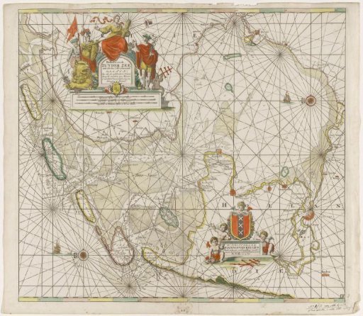
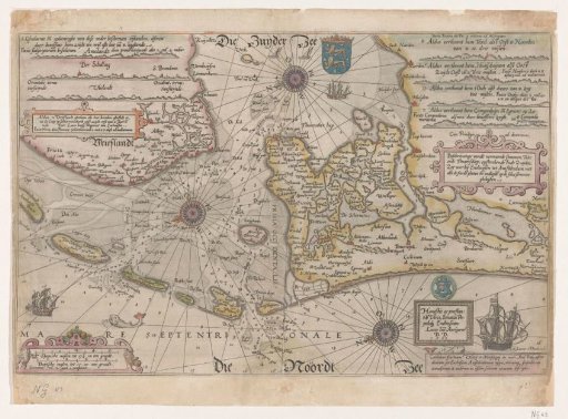
Chart of the Vlie and the Marsdiep
From the collection of Rijksmuseum, Amsterdam. Free to download, adapt and use — no permission needed.
About this work
Chart of the shipping channel with all sandbanks and depths between North Holland and Friesland to the Zuiderzee. With the Wadden Islands and a large part of West-Friesland and North-Holland up to Noordwijkerhout. In the top left and right various coastal profiles. Bottom left the scale. With text on the reverse, illustration on two pages from a book.
Rijksmuseum, Amsterdam’s own descriptionCredit linePaskaart van het Vlie en de Marsdiep. 1583. Joannes van Doetechum (I). Rijksmuseum, Amsterdam. Public domain.