Public domain
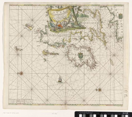
Chart of the coasts of England, Scotland, and Ireland
From the collection of Rijksmuseum, Amsterdam. Free to download, adapt and use — no permission needed.
About this work
Sea chart of the coasts of England, Scotland, Ireland, and France. With two compass roses, North is to the left. Center top, a vignette with the title and a shepherd sleeping under a tree. Bottom left, the scale in German, Spanish, and English or French miles.
Rijksmuseum, Amsterdam’s own descriptionCredit linePaskaart van de kusten van Engeland, Schotland en Ierland. 1682 - 1803. Jan Luyken. Rijksmuseum, Amsterdam. Public domain.
Similar works
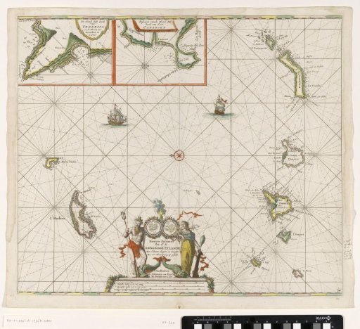 Chart of the Canary Islands
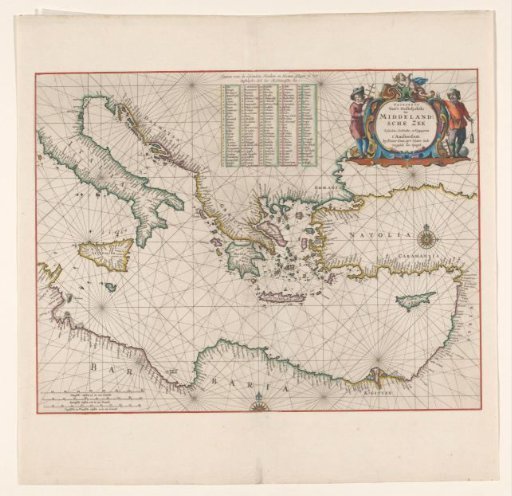 Sea chart of the eastern part of the Mediterranean Sea
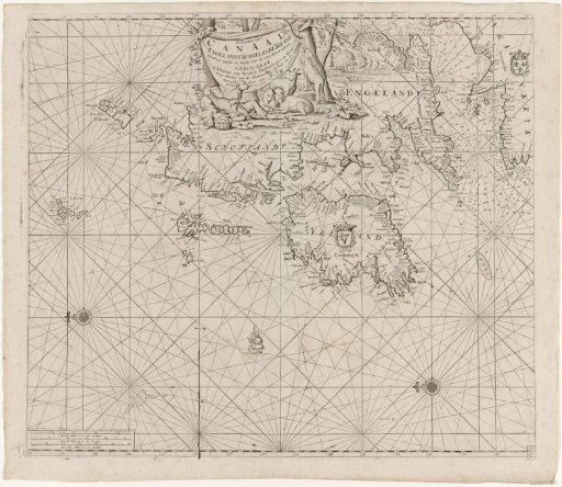 Chart of the coasts of Ireland, Scotland, England and France
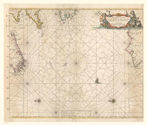 Sea chart of the western part of the Channel
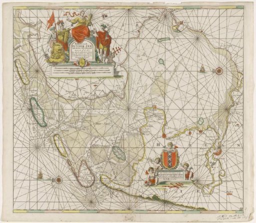 Chart of the Zuiderzee and the Wadden Sea
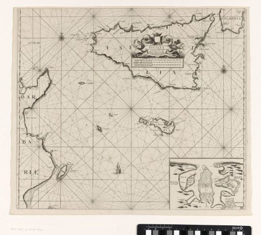 Chart of the islands of Sicily and Malta and part of the coast of Tunisia