Public domain
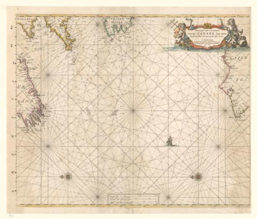
Sea chart of the western part of the Channel
From the collection of Rijksmuseum, Amsterdam. Free to download, adapt and use — no permission needed.
About this work
Sea chart on how to approach the Channel coming from the West. On the sea two compass roses; north is to the left. Top right a cartouche with the title. The cartouche decorated with sea creatures; the sea god on the left holds a pilgrim's staff. At the bottom three scale bars with German, Spanish and English or French miles. On the left edge of the chart a new scale has been added by hand with ink.
Rijksmuseum, Amsterdam’s own descriptionCredit lineZeekaart van het westelijke gedeelte van het Kanaal. 1661. Hendrick Doncker (I). Rijksmuseum, Amsterdam. Public domain.