Public domain
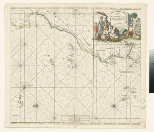
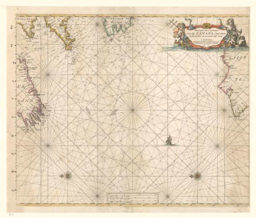
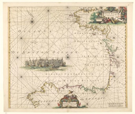
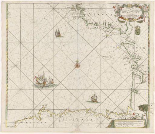
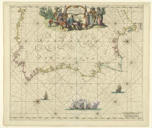
Map of the coast of Spain and Portugal
From the collection of Rijksmuseum, Amsterdam. Free to download, adapt and use — no permission needed.
About this work
Sea chart of the seas around the western part of the Iberian Peninsula with north to the left. Cartouche with title at the top with two elegant pairs on either side. Left a pair in Dutch clothing, right possibly Portuguese Jews. Center foreground a seated Spaniard with three prisoners (two men with turbans and an original inhabitant of America) and a beheaded body. At sea a naval battle and two separate ships. Lower right scale bars in German and French miles.
Rijksmuseum, Amsterdam’s own descriptionCredit lineKaart van de kust van Spanje en Portugal. 1670 - 1675. Frederik de Wit. Rijksmuseum, Amsterdam. Public domain.