Public domain
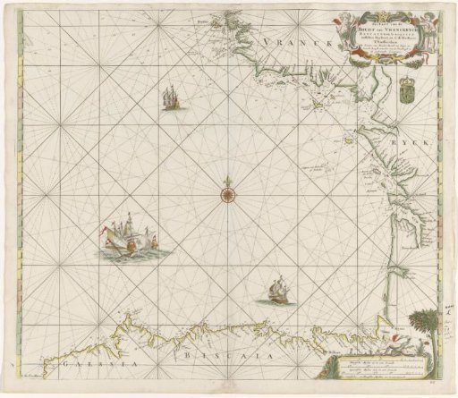
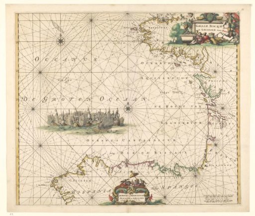
Sea chart of the Bay of Biscay
From the collection of Rijksmuseum, Amsterdam. Free to download, adapt and use — no permission needed.
About this work
Sea chart of the Bay of Biscay, the Atlantic coast between Brittany and northwest Spain. Two compass roses and a naval battle with Dutch ships in the sea. Upper right cartouche with Latin title decorated with the French coat of arms, a rider, two men eating and drinking, and a satyr with grape clusters. Lower middle cartouche with Dutch title. This cartouche decorated with fish, the Golden Fleece, and various Spaniards. Lower right two scale bars in German and French miles. Numbered upper right: 10.
Rijksmuseum, Amsterdam’s own descriptionCredit lineZeekaart van de Golf van Biskaje. 1675. Frederik de Wit. Rijksmuseum, Amsterdam. Public domain.