Public domain
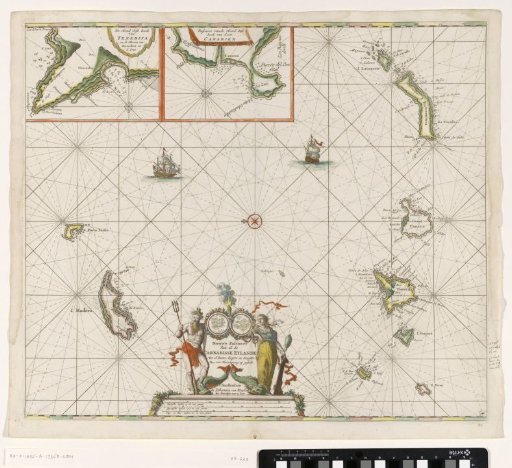
Chart of the Canary Islands
From the collection of Rijksmuseum, Amsterdam. Free to download, adapt and use — no permission needed.
About this work
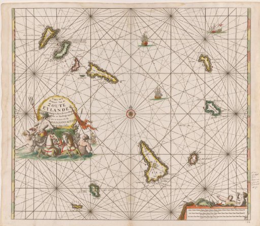
Sea chart of the Canary Islands. With a compass rose, North is to the left. Above, detail maps of parts of the coast of Tenerife and Gran Canaria. Bottom, the title, flanked by Triton and the personification of Prudence. Below the title, the scale in German, Spanish, and English or French miles.
Rijksmuseum, Amsterdam’s own descriptionCredit linePaskaart van de Canarische Eilanden. c. 1680. Jan Luyken. Rijksmuseum, Amsterdam. Public domain.