Public domain
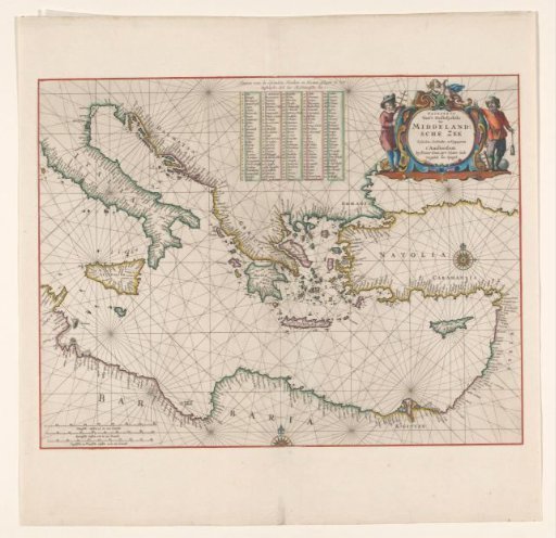
Sea chart of the eastern part of the Mediterranean Sea
From the collection of Rijksmuseum, Amsterdam. Free to download, adapt and use — no permission needed.
About this work
Sea chart from Northern Italy to Syria, red border, coasts colored, inscription r.b. flanked by allegorical figures and a putto. M.b. table: 'Names of the Islands, Points and Harbors, located in the / Eastern part of the Mediterranean Sea'. M.o. and r.m. a compass rose, l.o. scale in German, Spanish and English or French miles. (1:5 million). Inscription; r.b.: PASKAERTE / Van 't Oostelyckste / Der / MIDDELAND= / SCHE ZEE. Signed; r.b.: Pieter Goos.
Rijksmuseum, Amsterdam’s own descriptionCredit lineZeekaart van het oostelijk deel van de Middellandse zee. 1662. Pieter Goos. Rijksmuseum, Amsterdam. Public domain.
Similar works
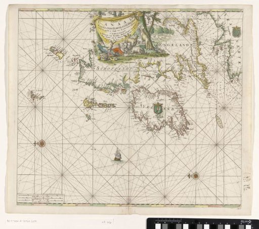 Chart of the coasts of England, Scotland, and Ireland
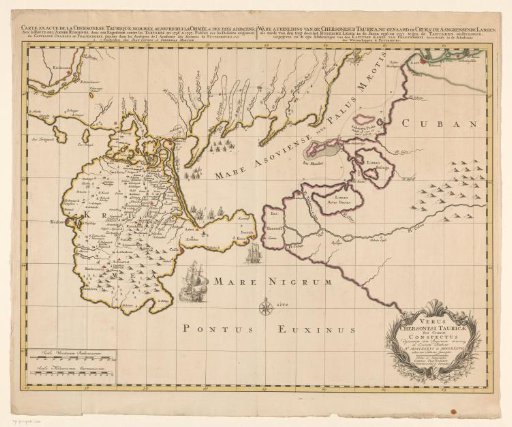 Map of the Crimea during the Russo-Turkish War (1735–1739)
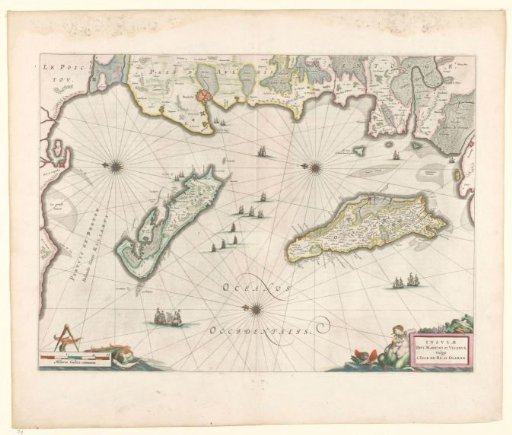 Map of the French coast near La Rochelle and the islands of Ré and Oleron
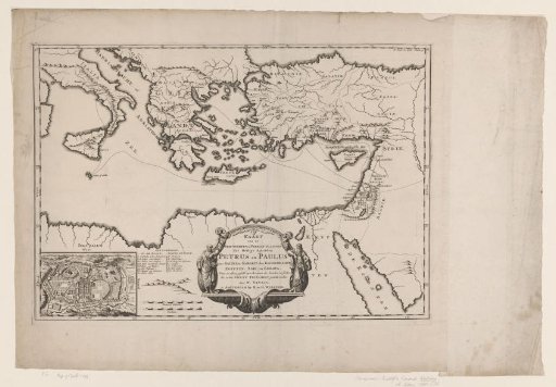 Map of the journeys of the apostles Peter and Paul, with a plan of Jerusalem
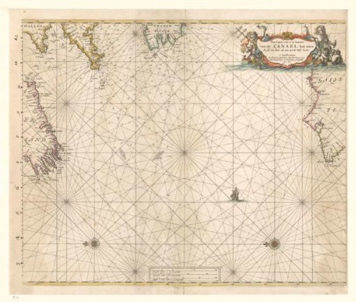 Sea chart of the western part of the Channel
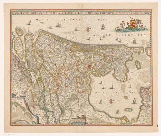 Map of the County of Holland