Public domain
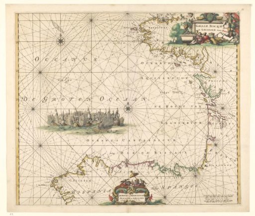
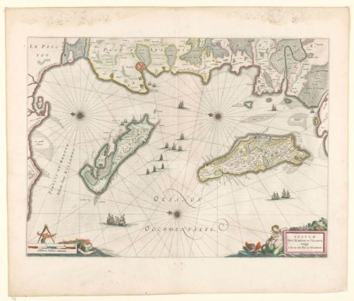
Map of the French coast near La Rochelle and the islands of Ré and Oleron
From the collection of Rijksmuseum, Amsterdam. Free to download, adapt and use — no permission needed.
About this work
Map of the islands Ré and Oleron and the French coast, borders and coasts colored. Three compass roses, top right, center and bottom left. North is to the left. Ships at sea. Bottom left scale in French miles with sea monster and compass. Top right at inscription allegorical figures. Verso: 2 pages of text, 2 columns each. Inscription; top right: INSLAVAE / DIVI MARTINI et VLIARVS, Vulgo / L'ISLE DE RE et OLERON.
Rijksmuseum, Amsterdam’s own descriptionCredit lineKaart van Franse kust bij La Rochelle en de eilanden Ré en Oleron. 1600 - 1650. Mercator. Rijksmuseum, Amsterdam. Public domain.