Public domain
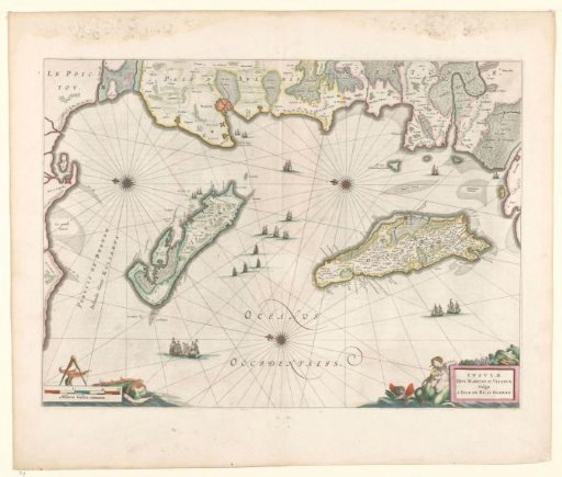
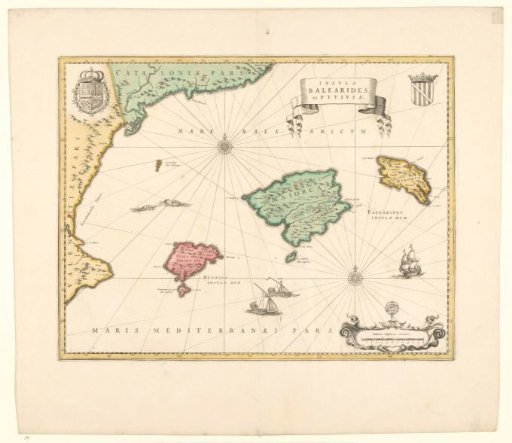
Map of the Balearic Islands and Pityuses and coast of Spain
From the collection of Rijksmuseum, Amsterdam. Free to download, adapt and use — no permission needed.
About this work
Map of the Balearic Islands and Pityusen and part of the Spanish coast, yellow border, areas colored, 2 compass roses: m.b. and r.o. Crowned coat of arms r.b., crowned coat of arms with Golden Fleece l.b. Ships at sea, r.o. scale in Spanish miles with a globe on it. Inscription; r.b.: INSVLAE / BALEARIDES / et PITYVSAE.
Rijksmuseum, Amsterdam’s own descriptionCredit lineKaart van de Balearen en Pityusen en kust van Spanje. 1600 - 1650. Willem Janszoon Blaeu. Rijksmuseum, Amsterdam. Public domain.