Public domain
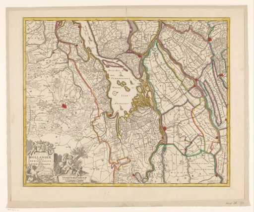
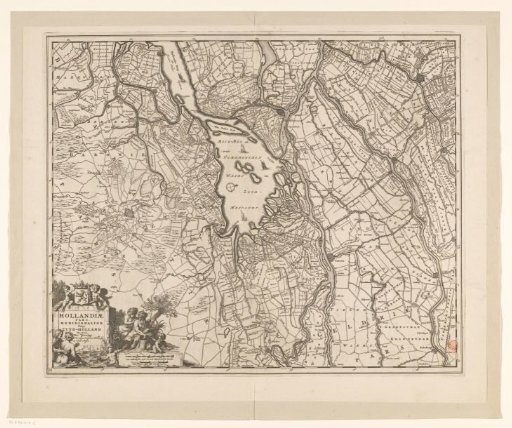
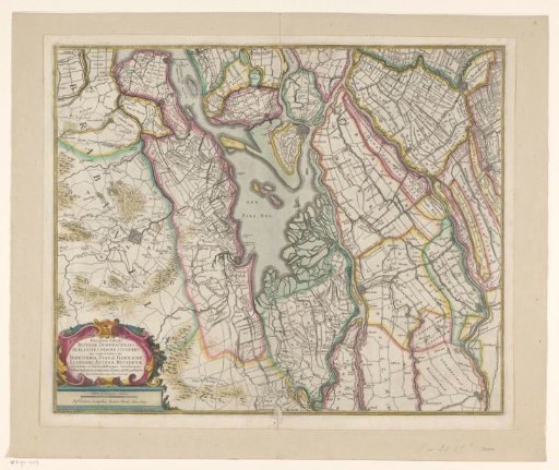
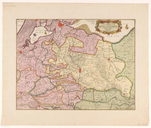
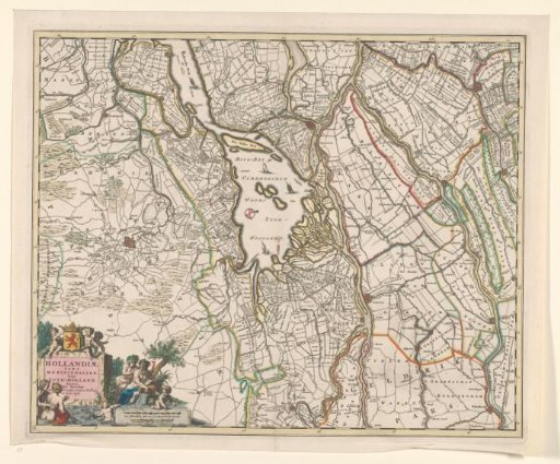
Map of the Biesbos river area
From the collection of Rijksmuseum, Amsterdam. Free to download, adapt and use — no permission needed.
About this work
Map of the area around the Biesbosch in South Holland. Bottom left a cartouche with the title and three putti with the crowned coat of arms of Holland. In front of it water with a man and woman wading and next to it a sitting woman and man with a jug from which water flows. In the foreground a stone with the scale in Dutch and French miles with two putti holding a thumb rule (1:170,000).
Rijksmuseum, Amsterdam’s own descriptionCredit lineKaart van het rivierengebied Biesbos. 1680 - 1690. Nicolaes Visscher (I). Rijksmuseum, Amsterdam. Public domain.