Public domain
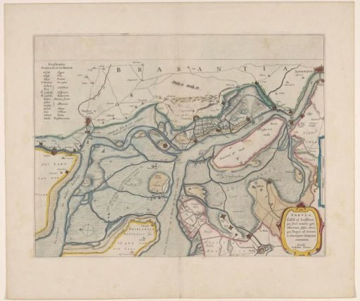
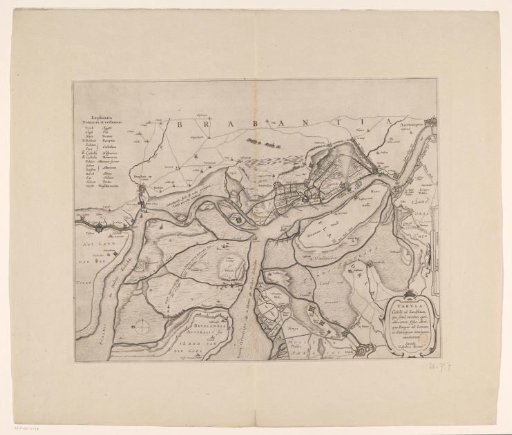
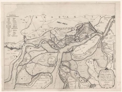
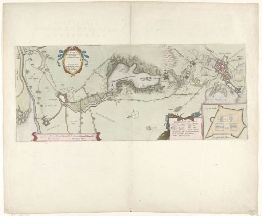
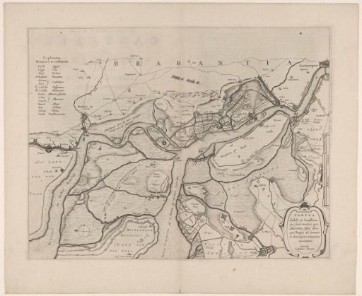
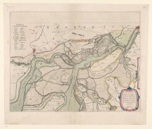
Map of the surroundings of Zandvliet
From the collection of Rijksmuseum, Amsterdam. Free to download, adapt and use — no permission needed.
About this work
Map of the Zandvliet area, north to the left, borders colored, cities, buildings, and flags indicated, roads sometimes populated. Explanation of symbols in the upper left, scale in land miles in the middle right. Verso: two pages of text.
Rijksmuseum, Amsterdam’s own descriptionCredit lineKaart van de omgeving van Zandvliet. 1642. Willem Janszoon Blaeu. Rijksmuseum, Amsterdam. Public domain.