Public domain
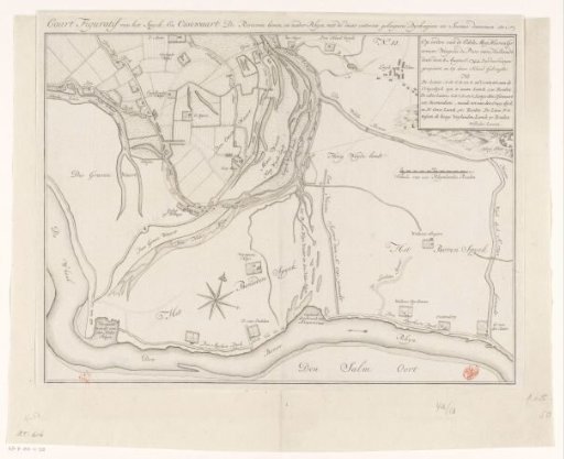
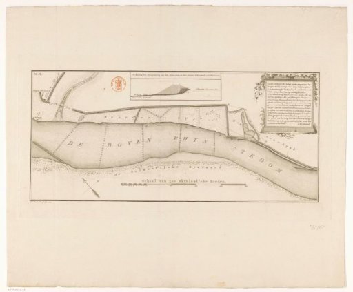
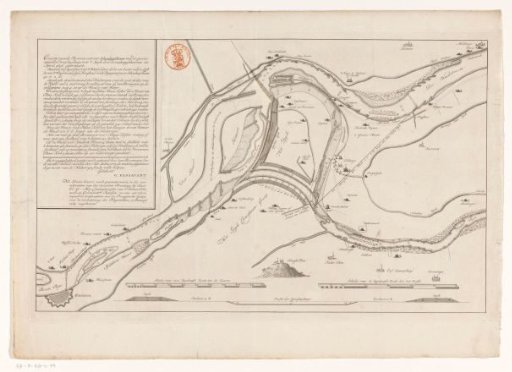
Map of the Upper Rhine near Schenkenschans
From the collection of Rijksmuseum, Amsterdam. Free to download, adapt and use — no permission needed.
About this work
On the left, the title and explanation. The map shows measures to improve water drainage via the Lower Rhine and the Waal through river cutoffs. On the pasted paper, it can be seen how the Lower Rhine should be diverted through the nature area Salmoth. In the lower left, the scale bar for the map: Scale of 1000 Rhinland rods to the map. In the lower right, the scale bar for the profile: Scale of 60 Rhinland rods to the profile. At the very bottom, a profile of the river cutoff.
Rijksmuseum, Amsterdam’s own descriptionCredit lineKaart van de Boven-Rijn bij Schenkenschans. 1699. anonymous. Rijksmuseum, Amsterdam. Public domain.